
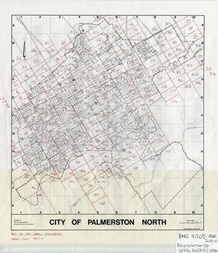
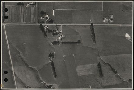
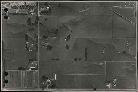
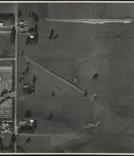
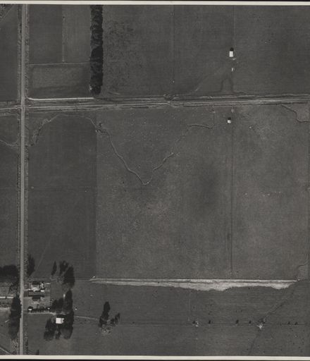
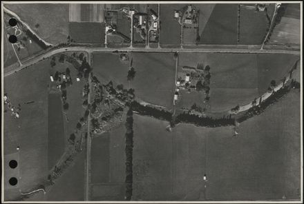
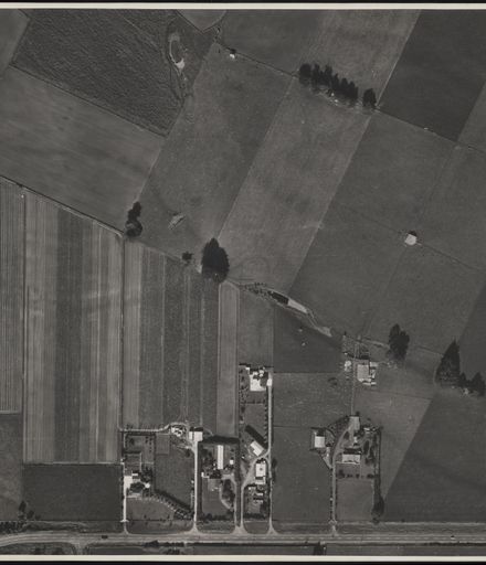
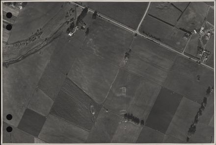
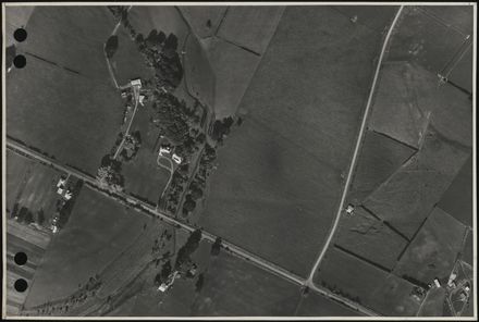
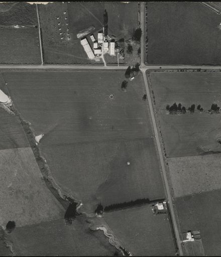
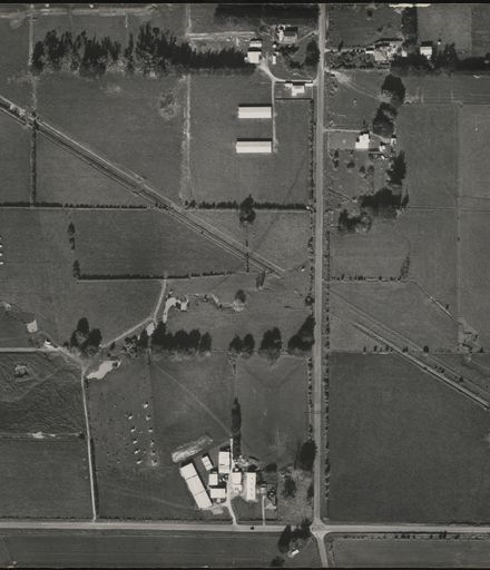
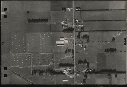
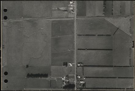
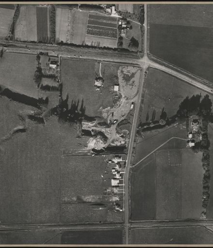
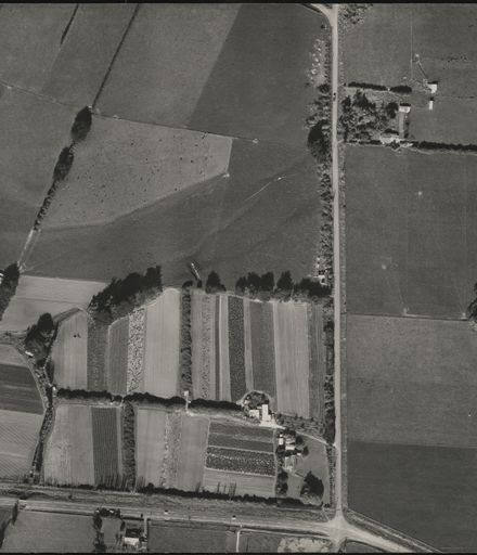
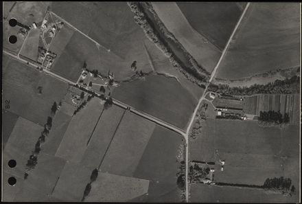
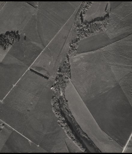
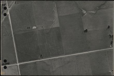
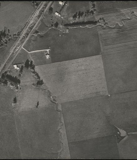
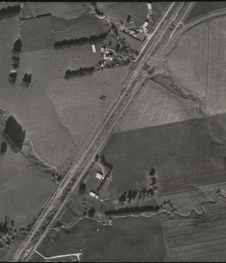
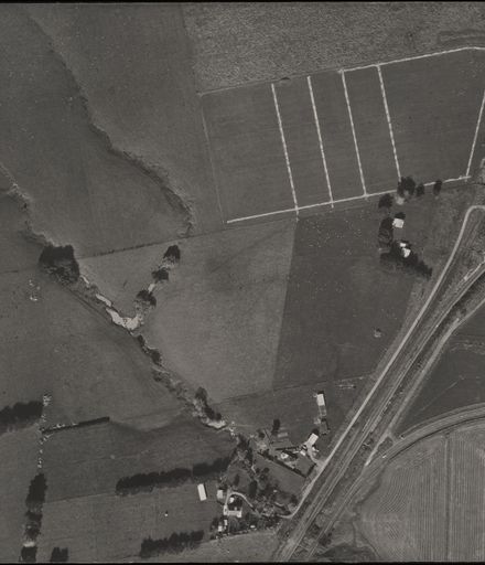
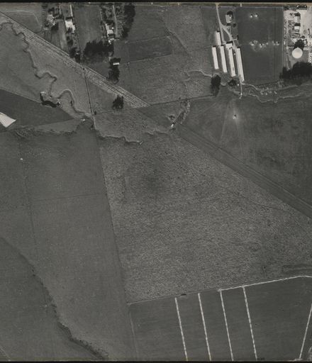
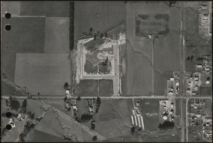
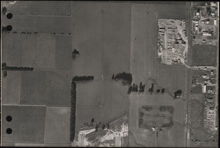
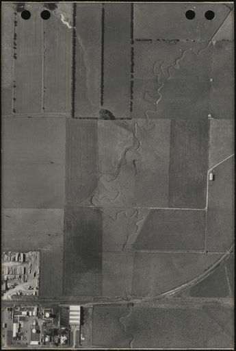
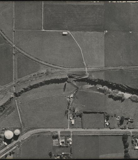
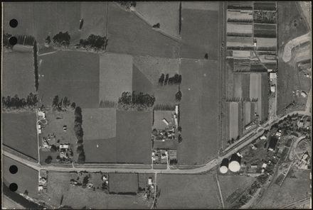
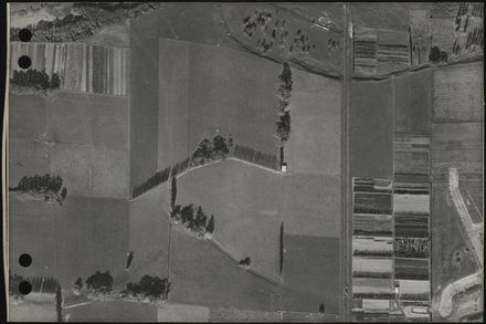
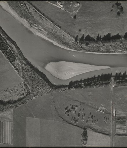
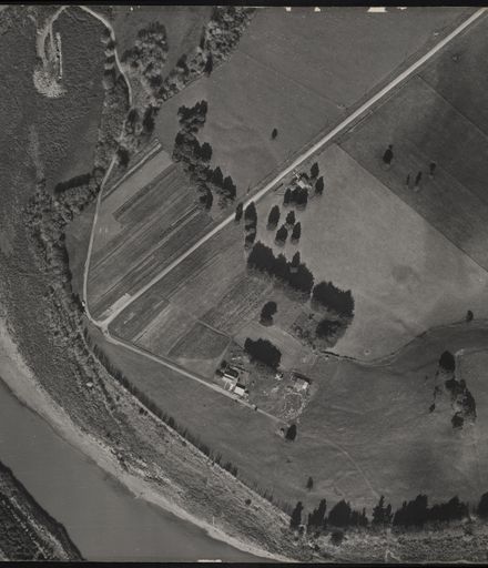
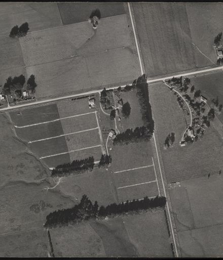
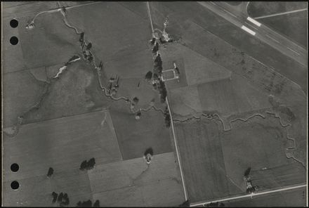
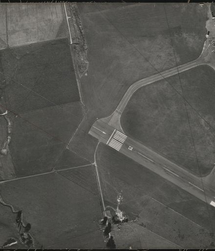
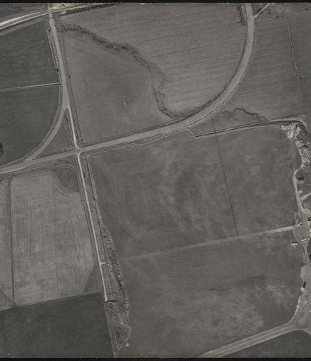
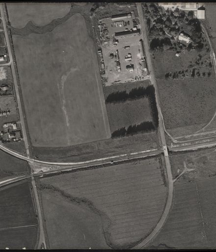
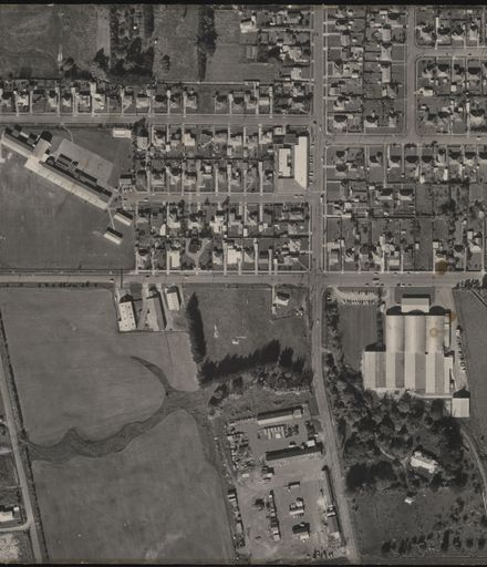
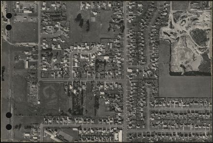

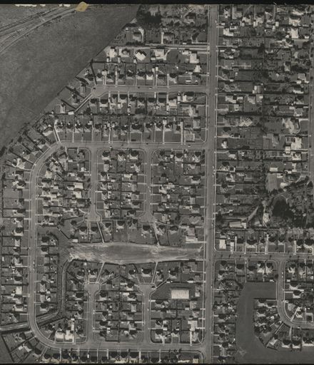
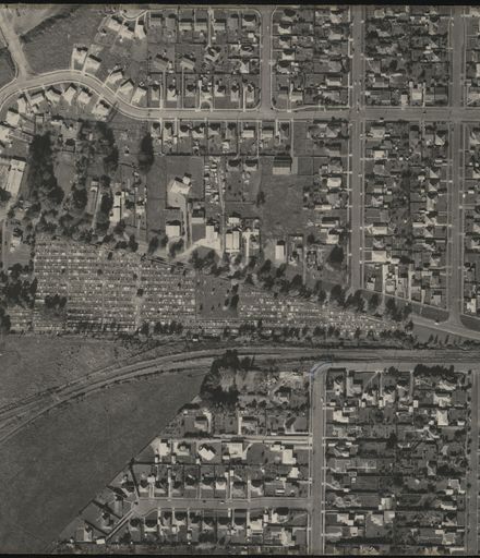
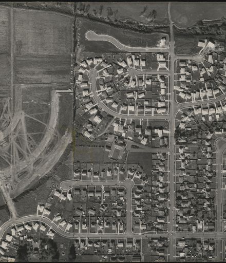
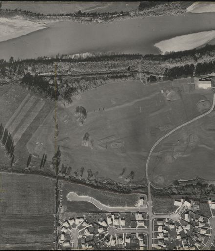
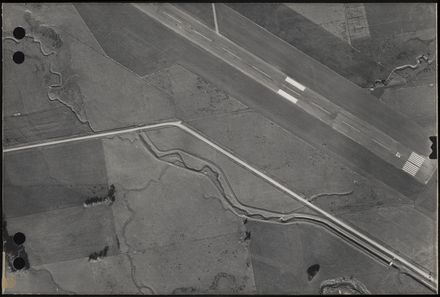
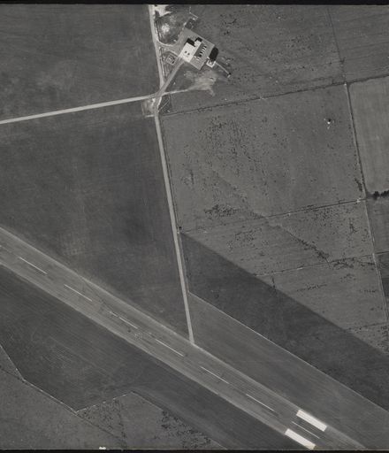
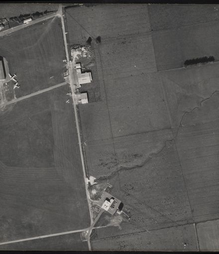
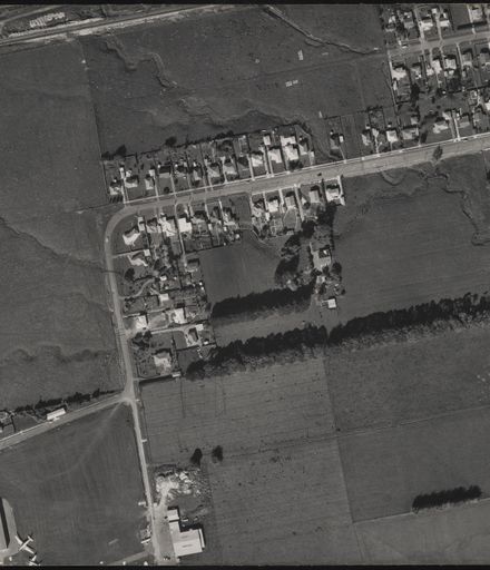
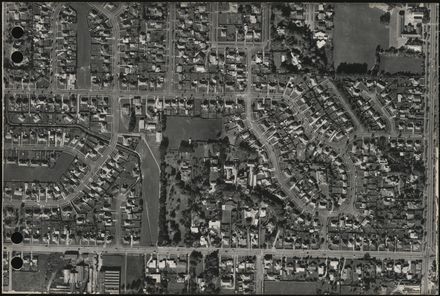
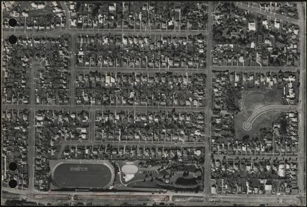
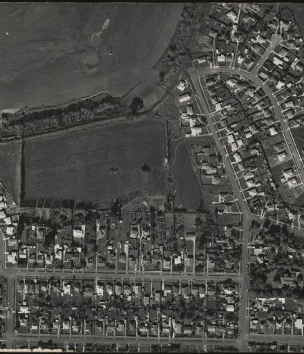
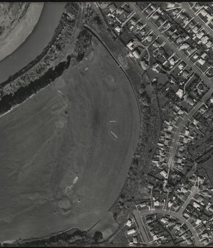
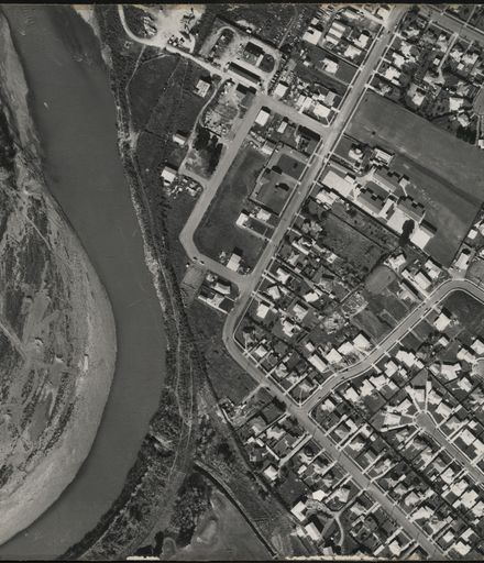
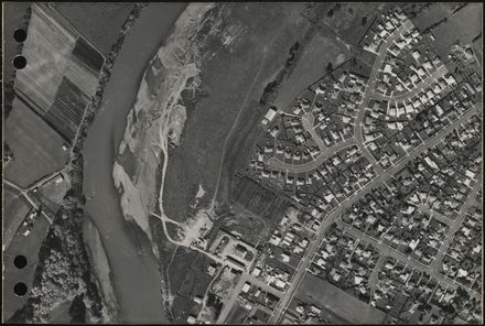
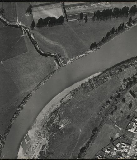
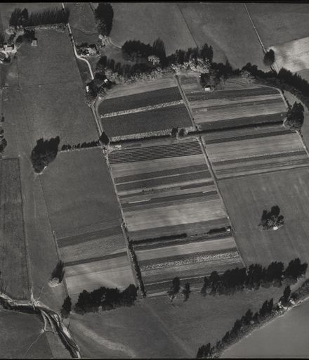
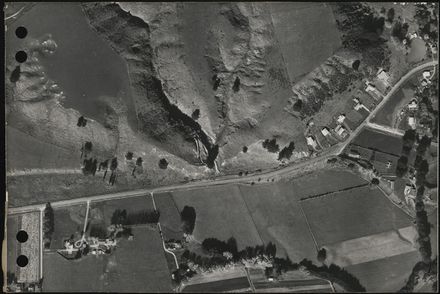
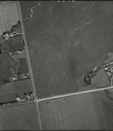
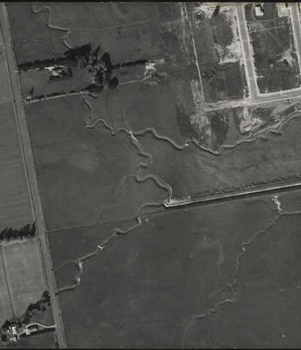

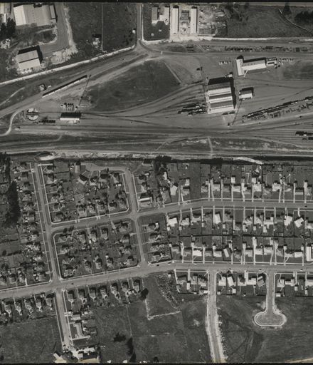
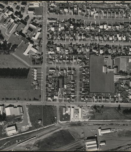
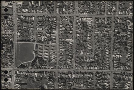
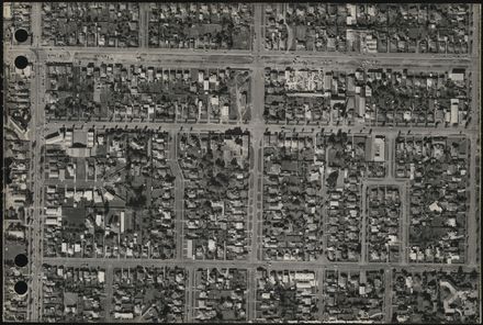
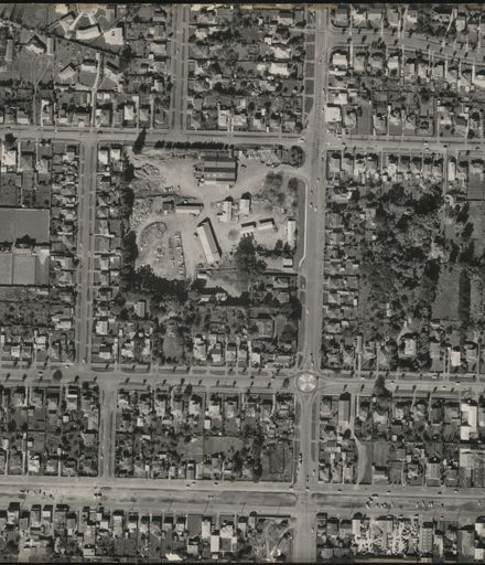

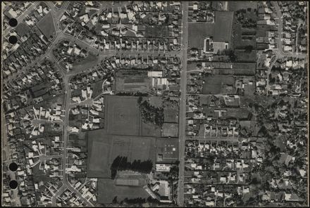
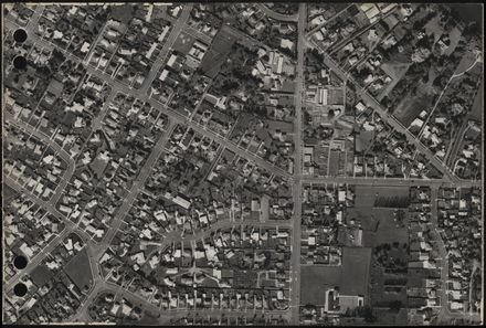
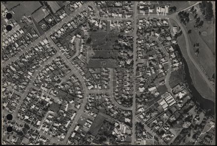
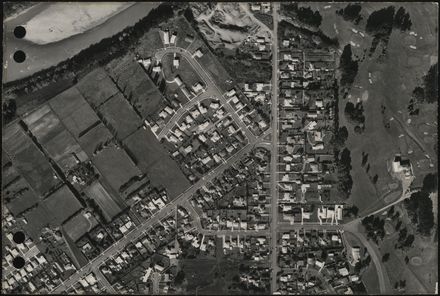
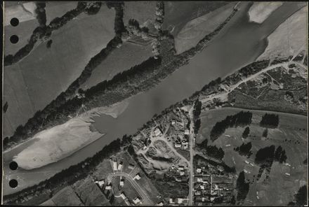
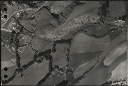
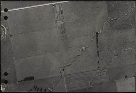
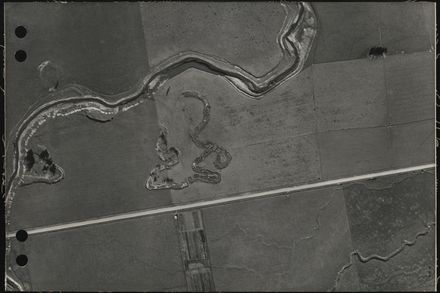
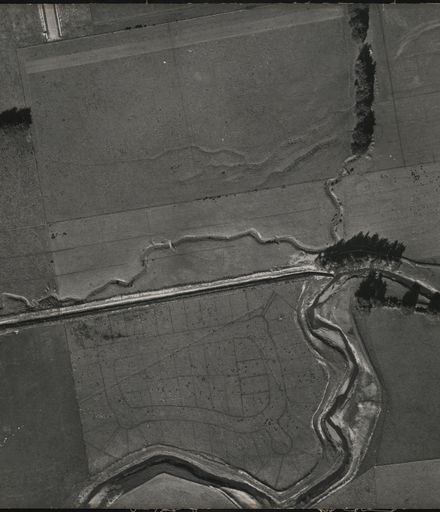
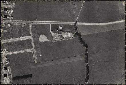
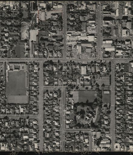
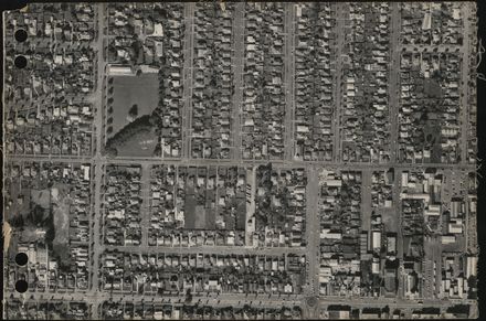
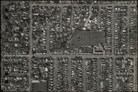
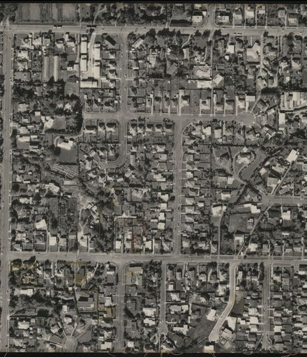
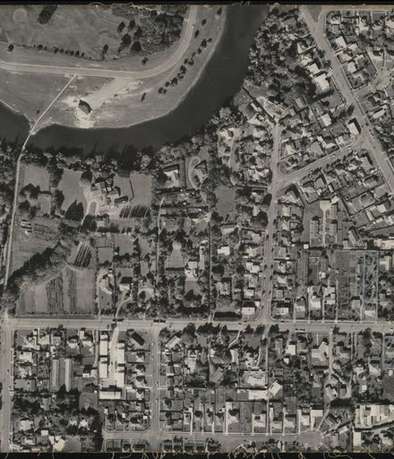
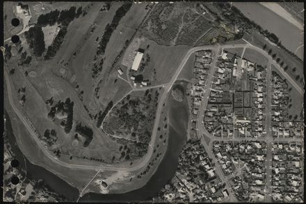
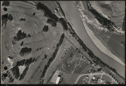
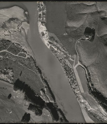
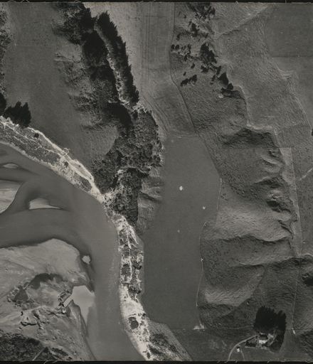
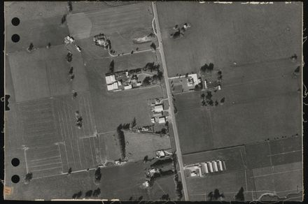
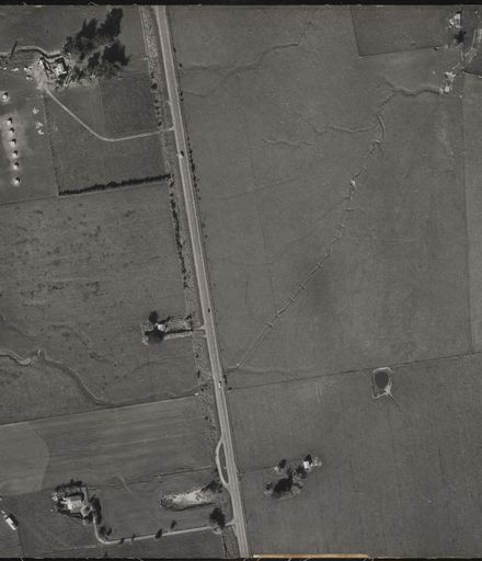
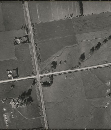
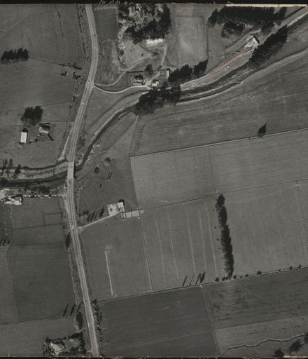
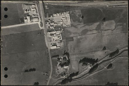
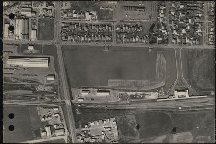
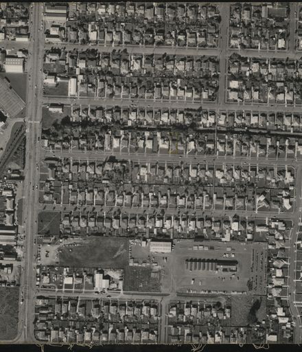
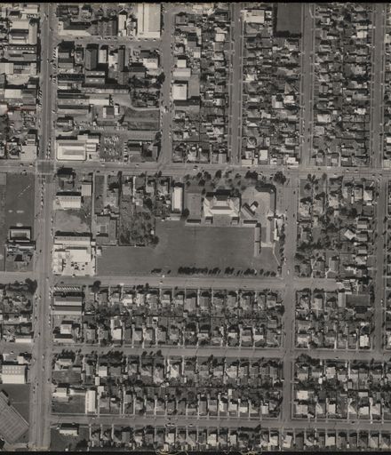
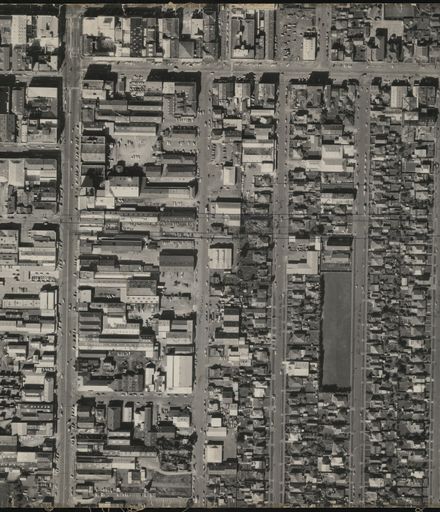
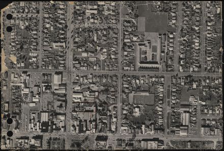
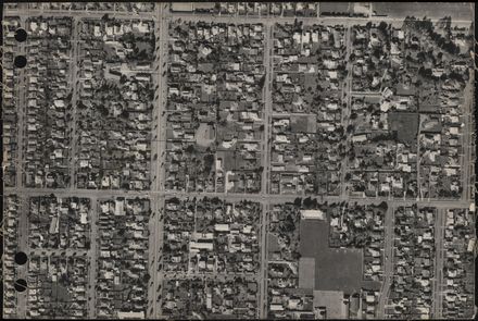
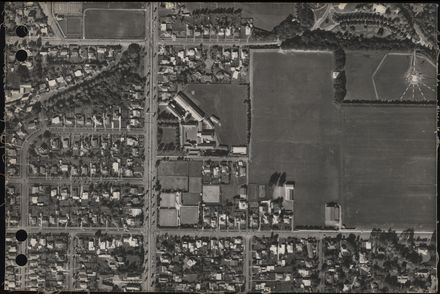
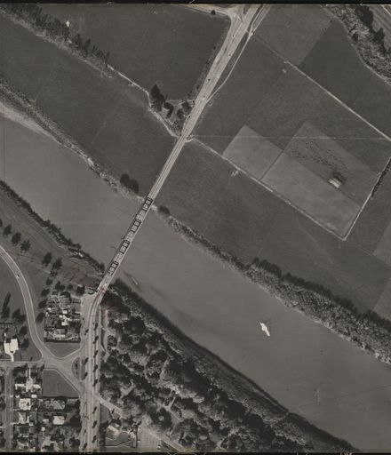
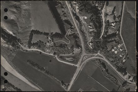
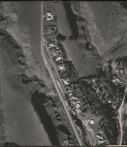
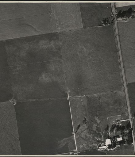
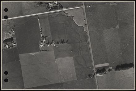
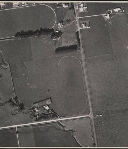
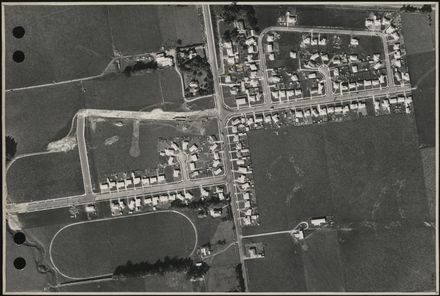
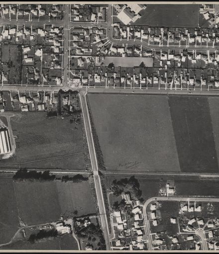

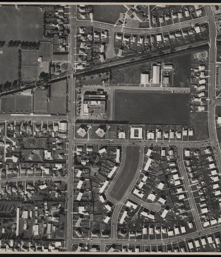
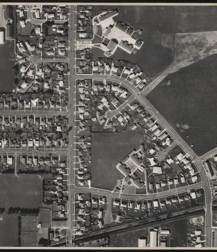
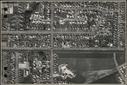
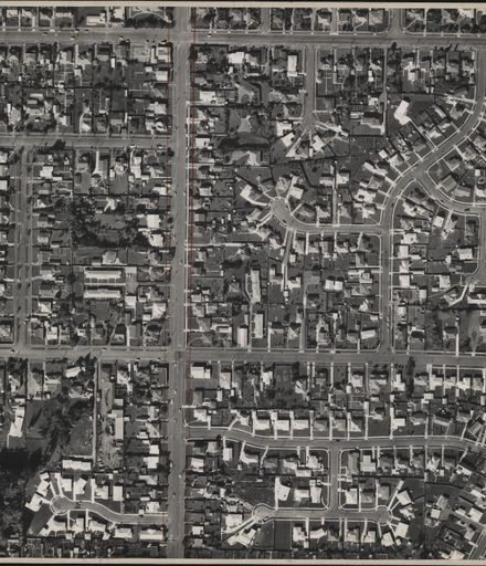
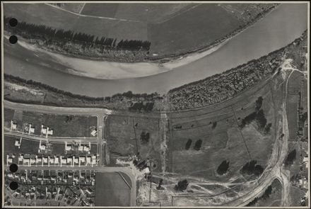
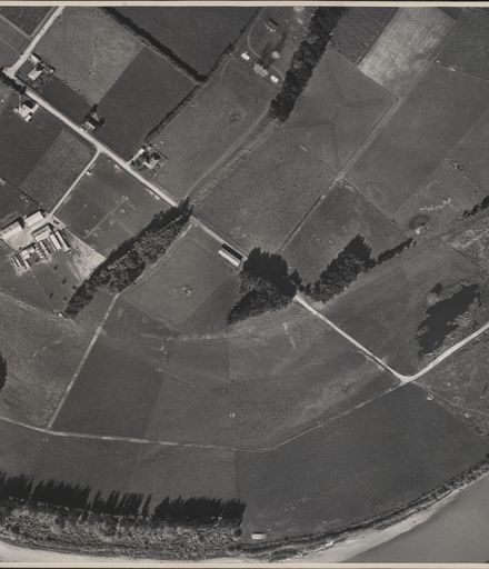
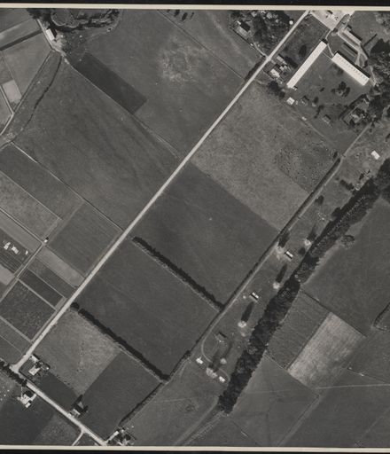
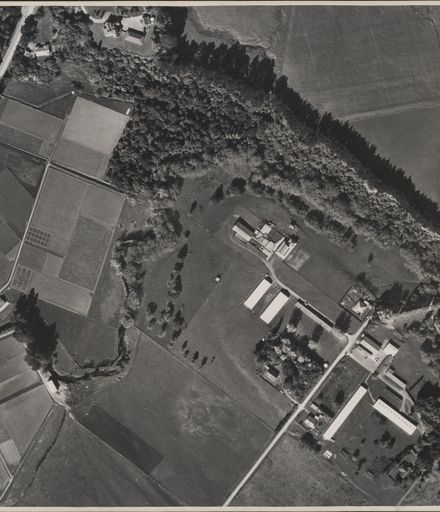
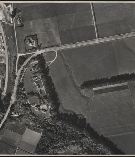
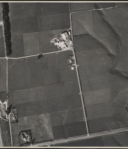
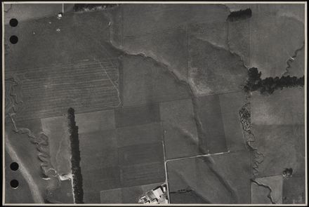
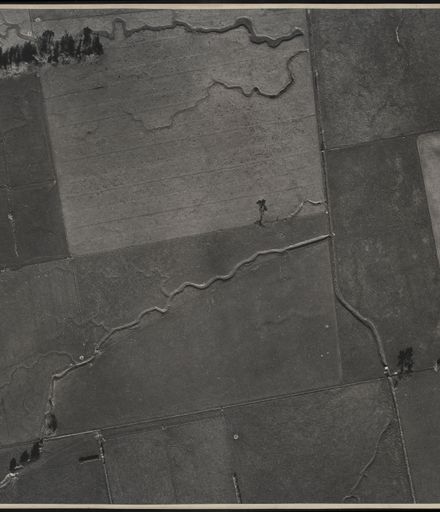
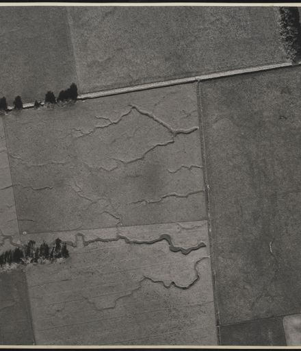
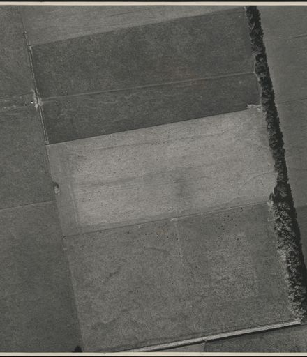
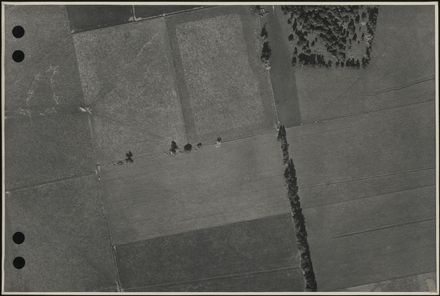
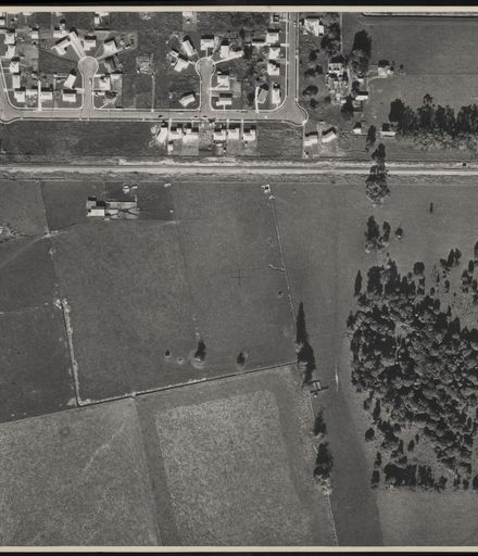
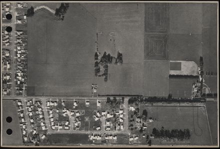
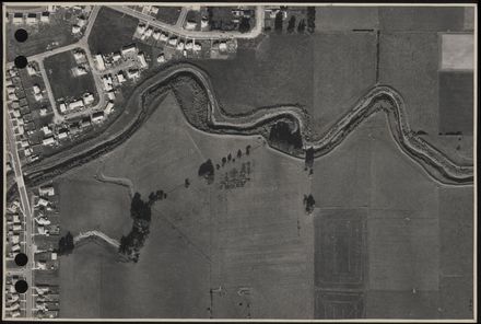
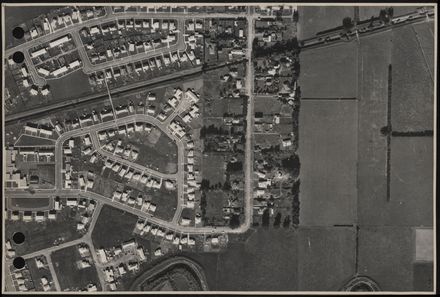
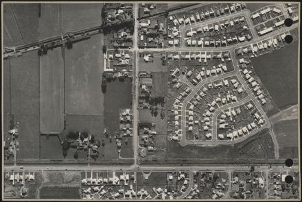
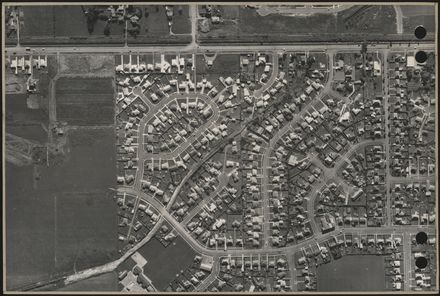
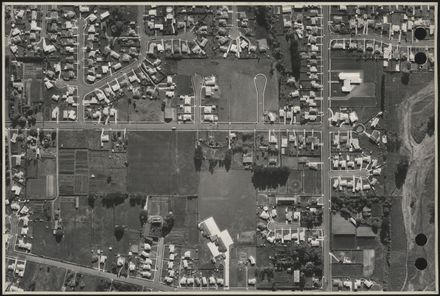
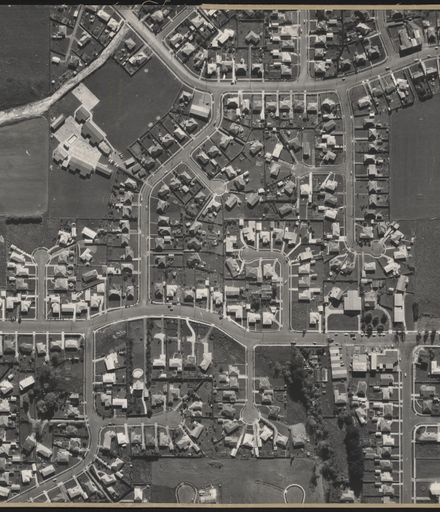
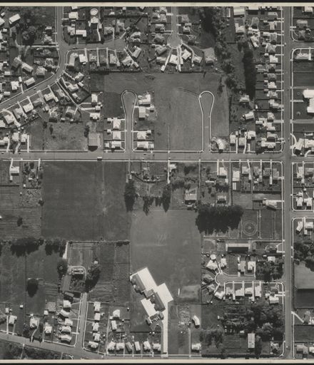
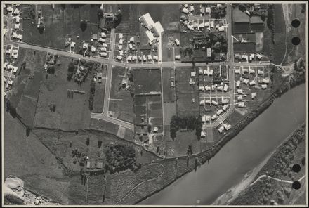

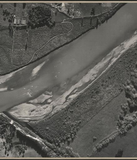
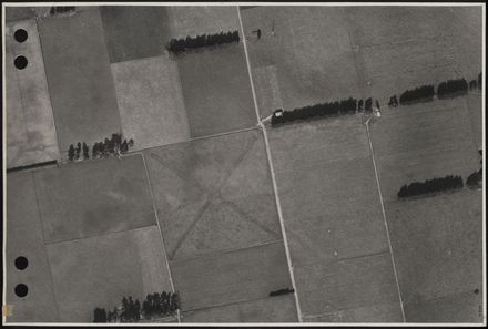
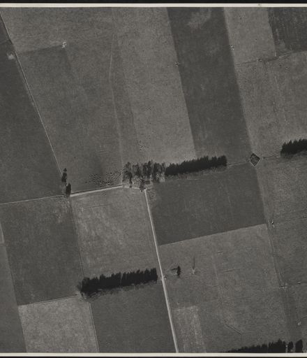
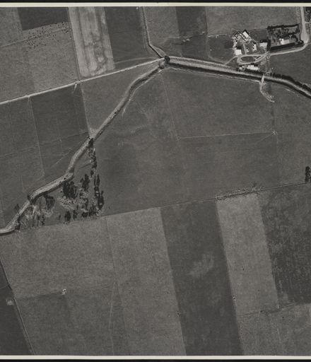
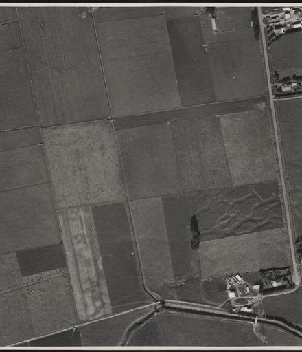
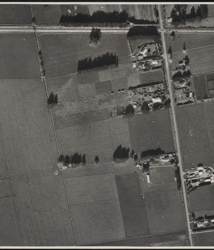
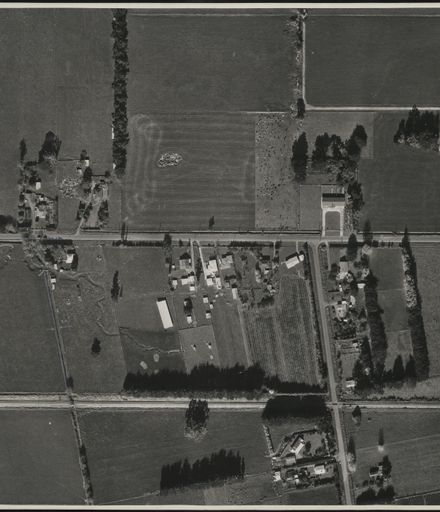
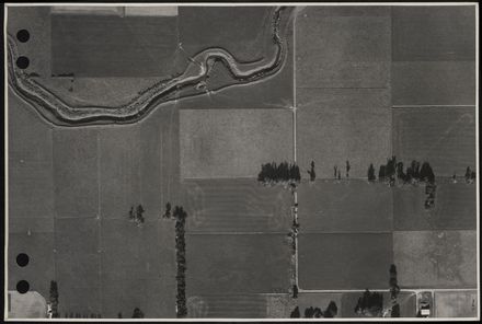
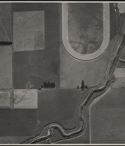
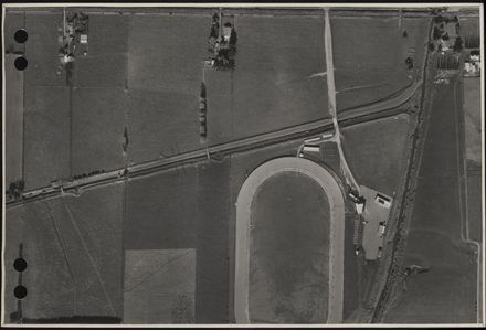
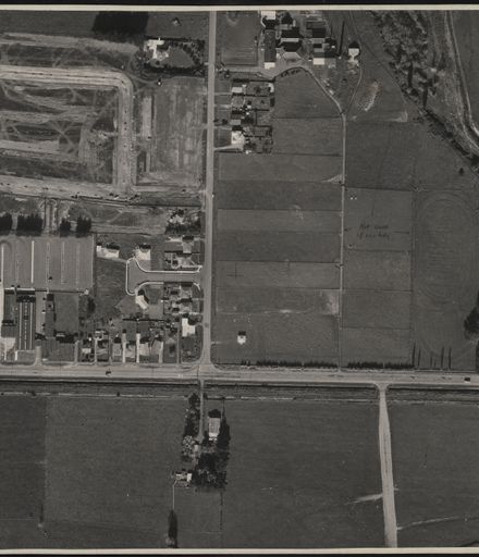
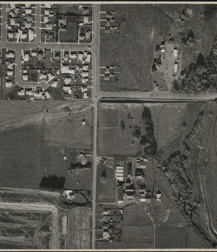
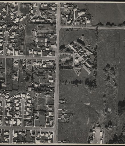
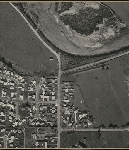
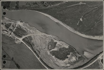
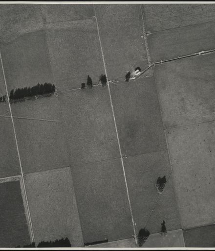
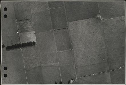
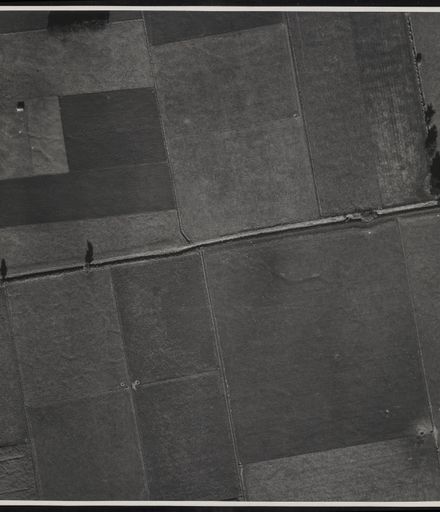
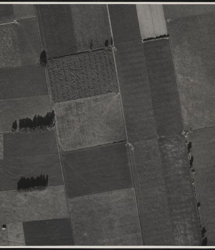
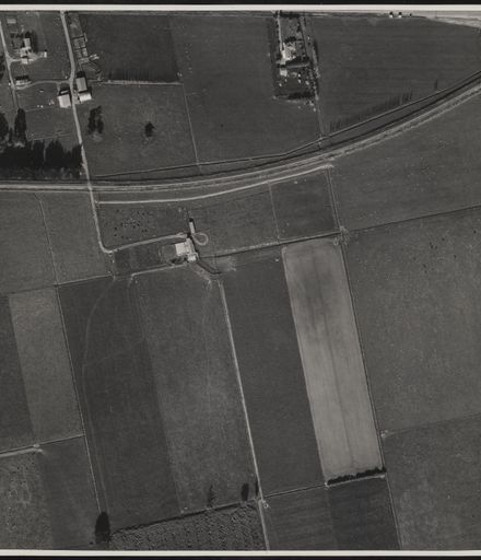
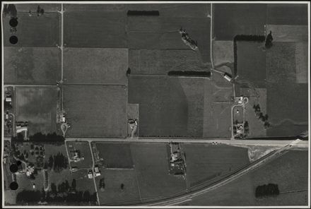
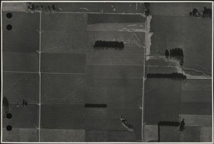
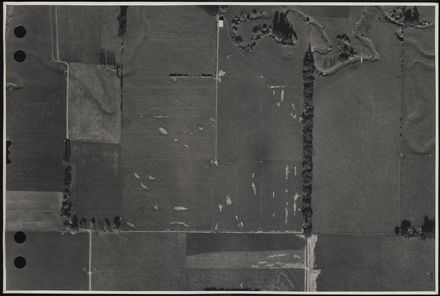
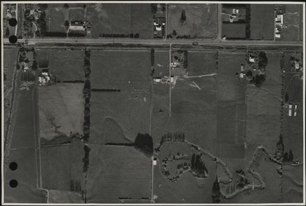
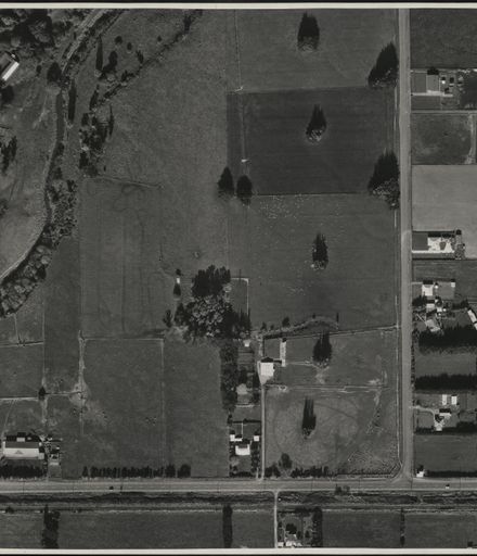
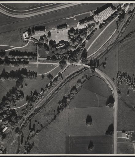
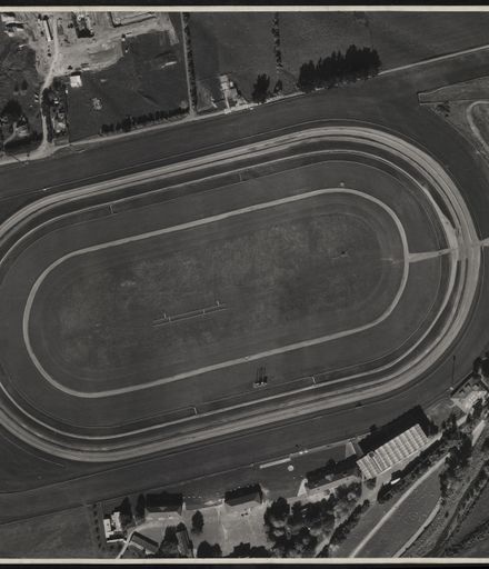
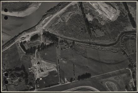
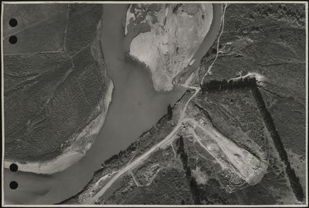
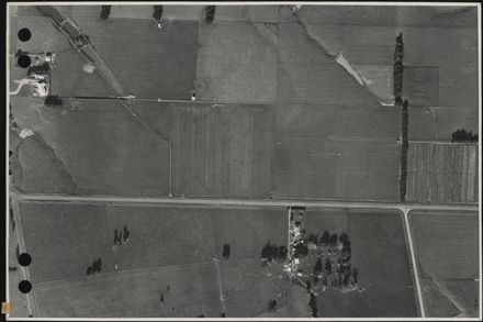
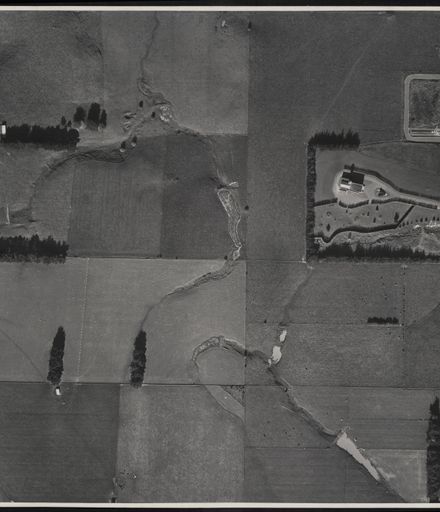
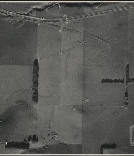
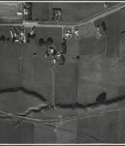
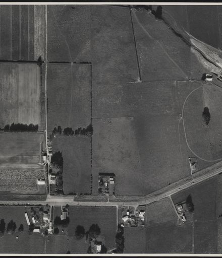
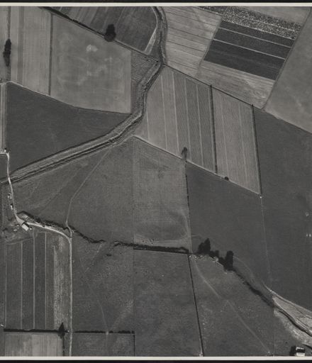
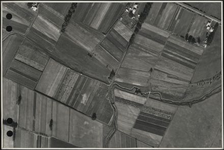
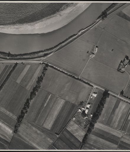
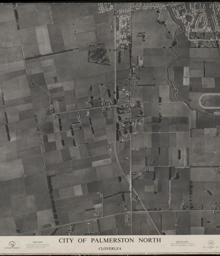
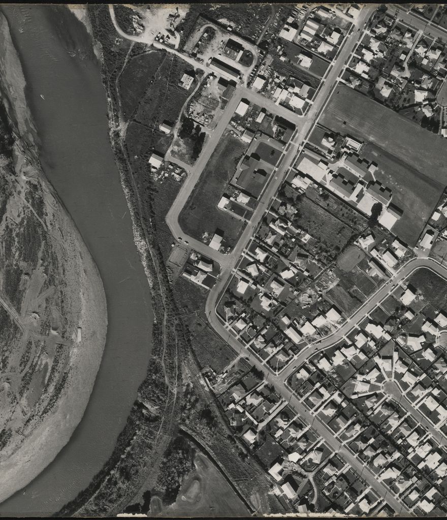
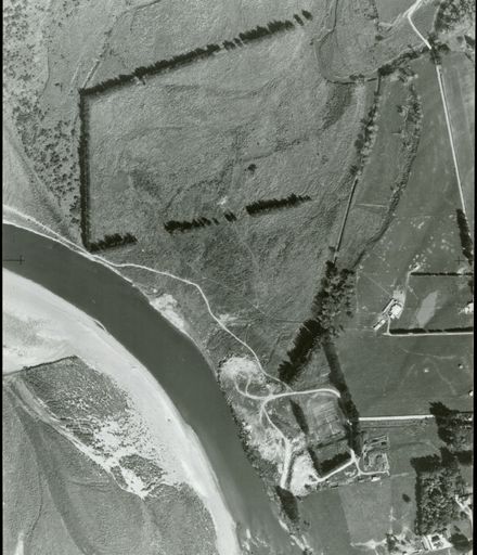
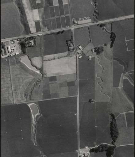
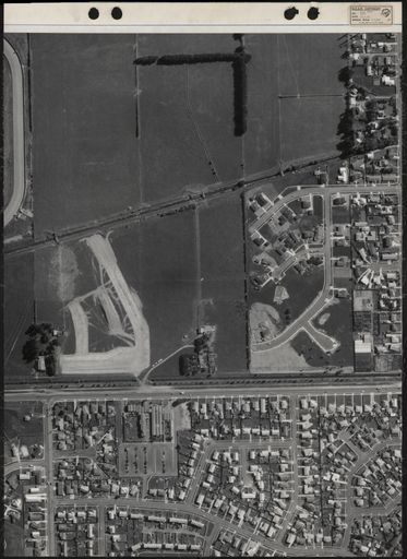
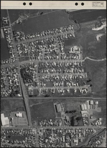
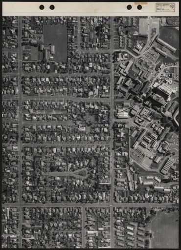
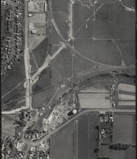
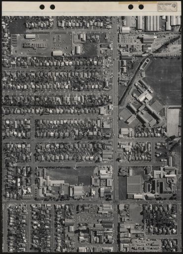
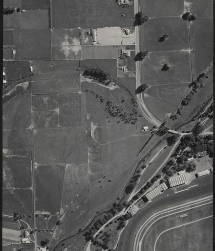
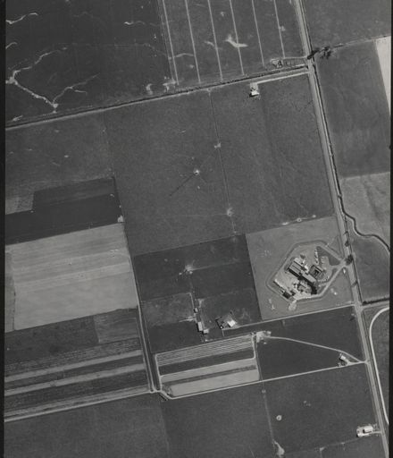
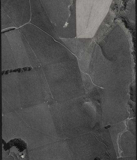
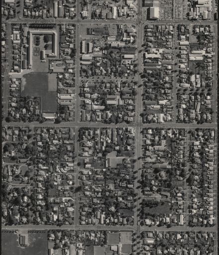
Key to 1966 aerial map survey of Palmerston North. Areas are laid out in grid format and have corresponding alphabetical and numerical number attached according to flight path. Scale of map is 1:12,500. Individual aerial maps scale are 1:1,000.
Aerial map - 1966
Identification
- Object type
- Map
- Relation
- PNCC 4-21-2
- Date
- 1966
- Digitisation ID
- 2018Pa_PNCC4-21-2_025558_001
- Format
- B&W print
- Held In
- IMCA Digital Archive
Related items

Creation
- Created By
- New Zealand Aerial Mapping Ltd, Hastings
- Place
- Palmerston North
Object rights
- License
- By Attribution Alone
Taxonomy
- Community Tags
Related items