

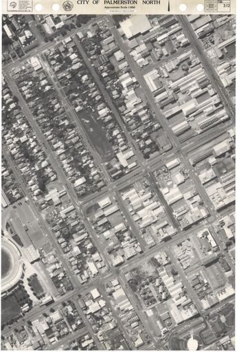
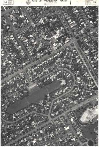
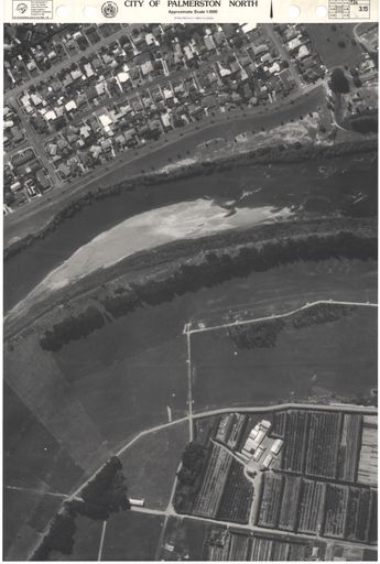
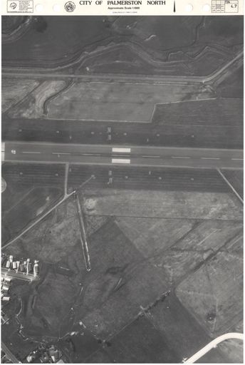

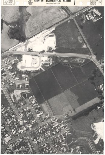
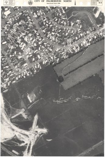
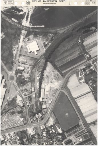
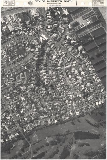
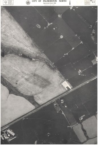
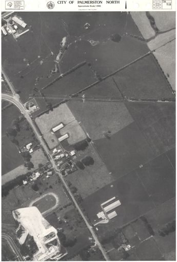
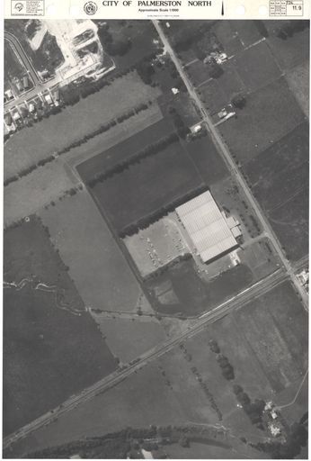
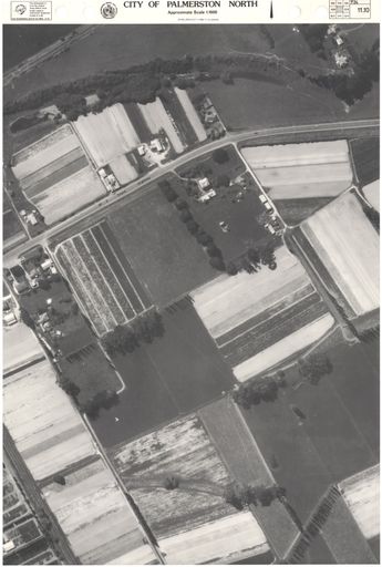
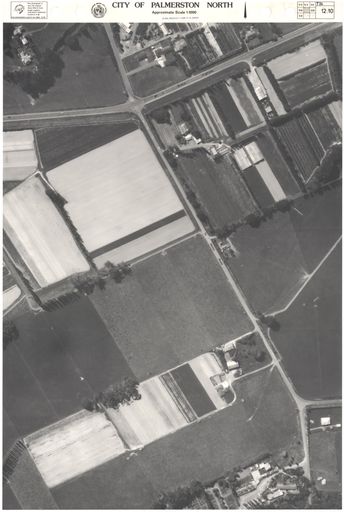
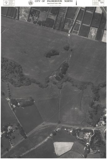
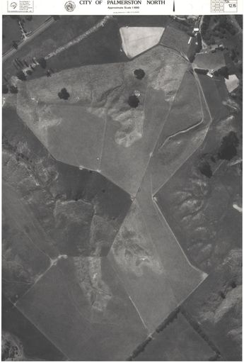
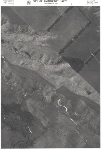
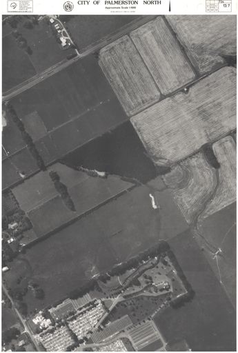
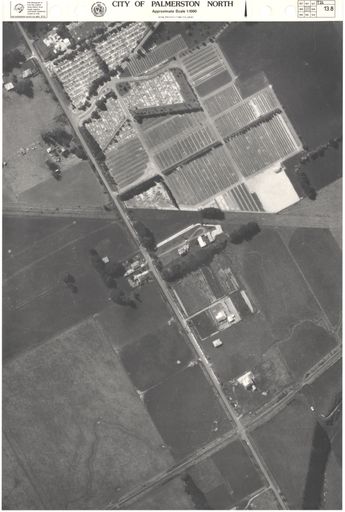
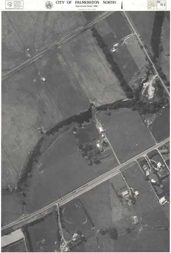
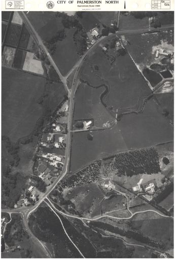
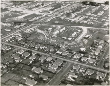
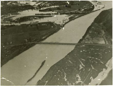
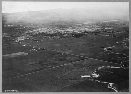
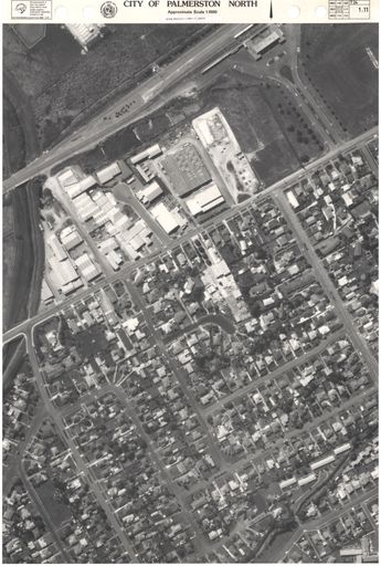
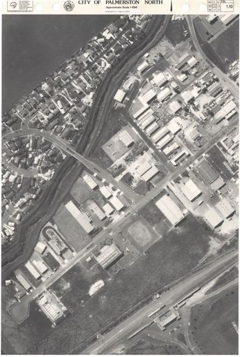
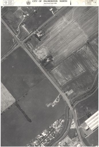
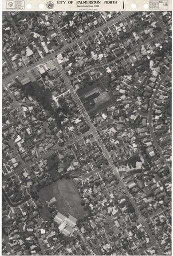
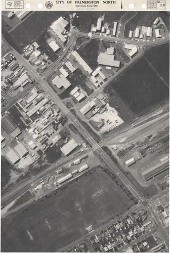
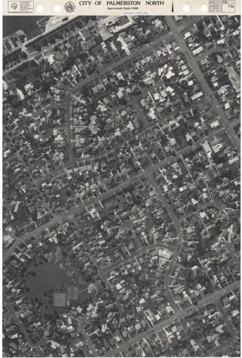
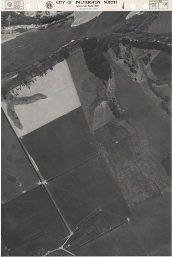
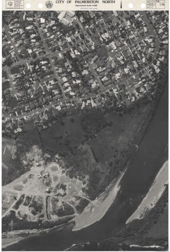
1986 Aerial Map
- Description
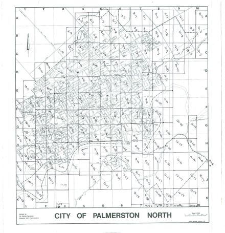
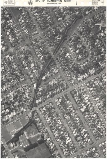
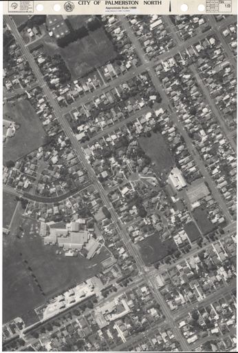
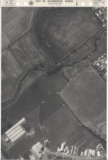
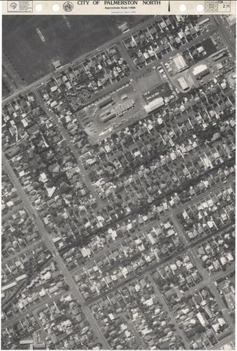
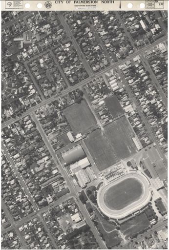
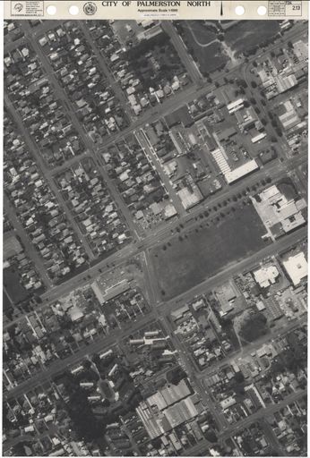
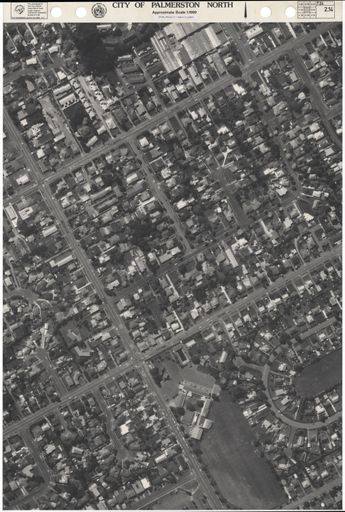
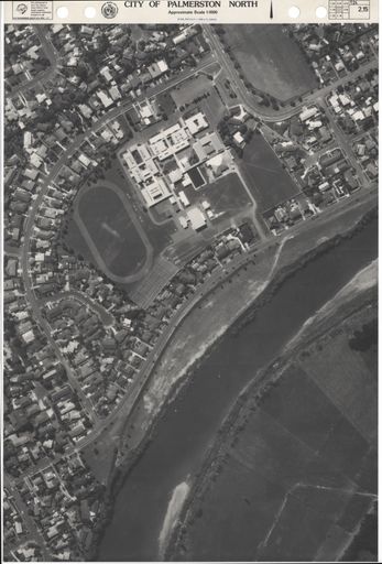
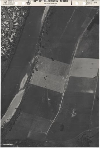
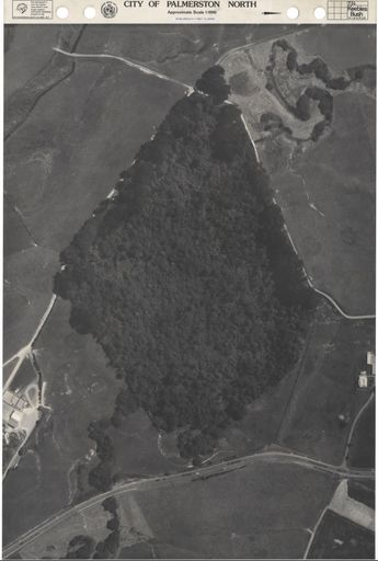
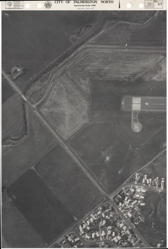
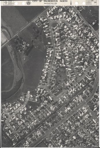
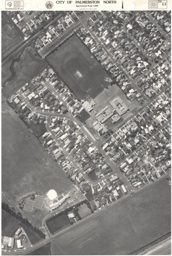
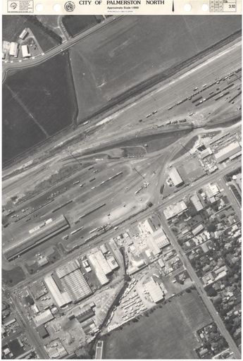
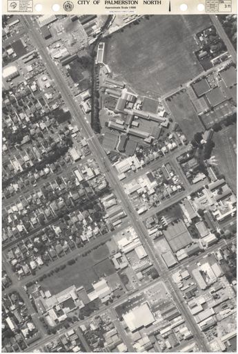
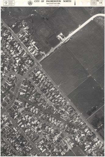
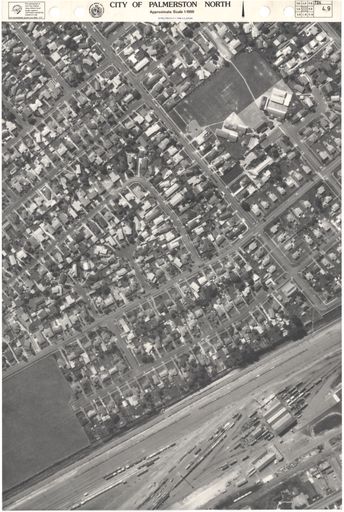
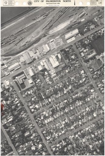
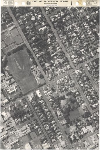
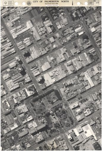
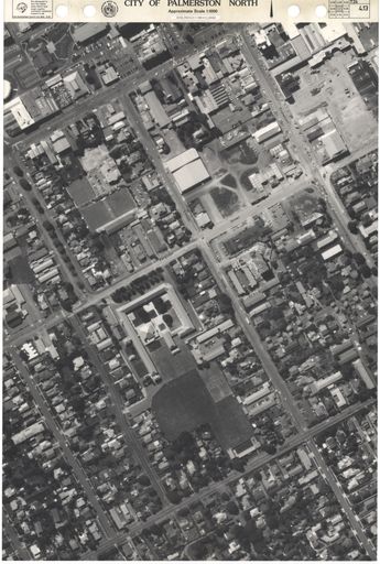
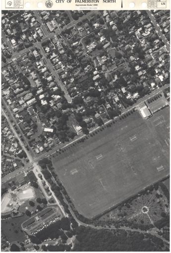
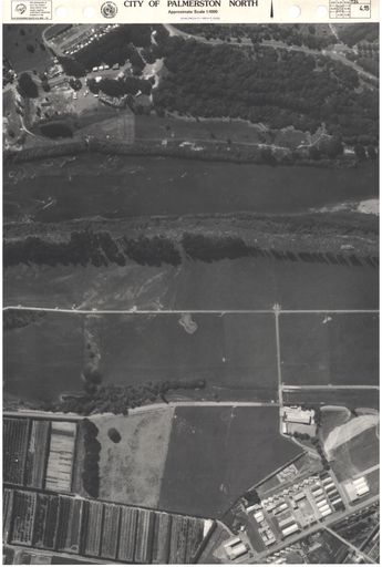
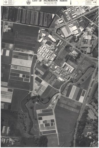
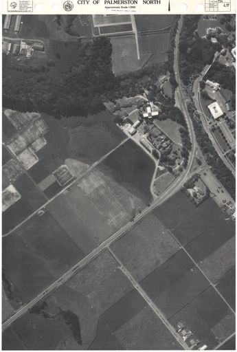
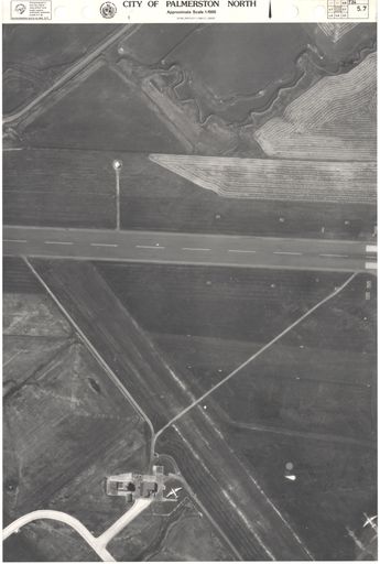
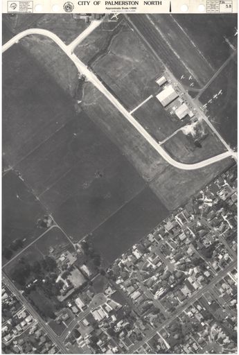
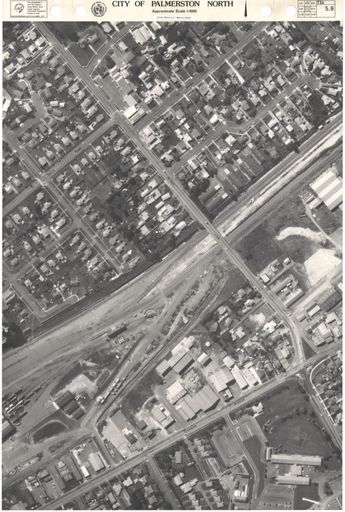
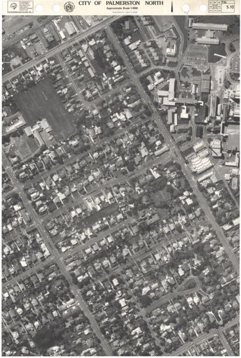
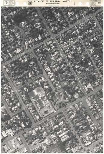
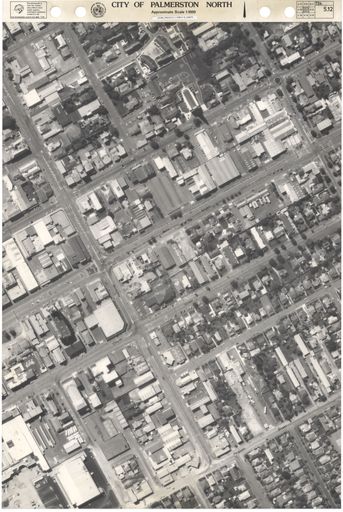
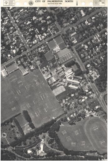
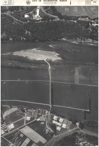
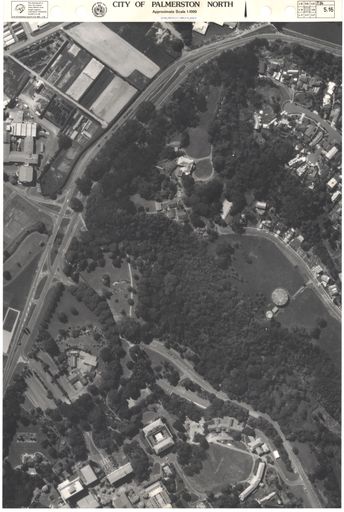
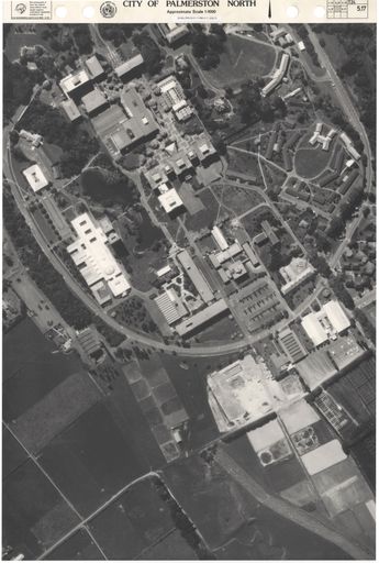
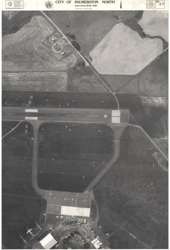
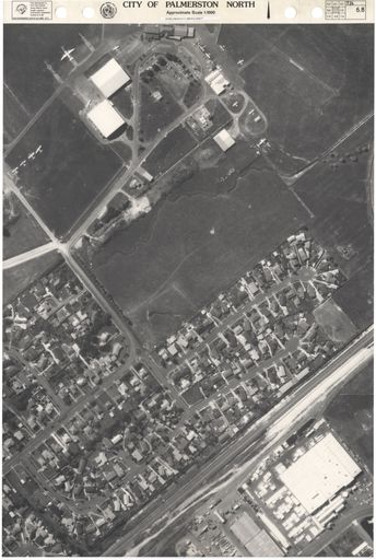
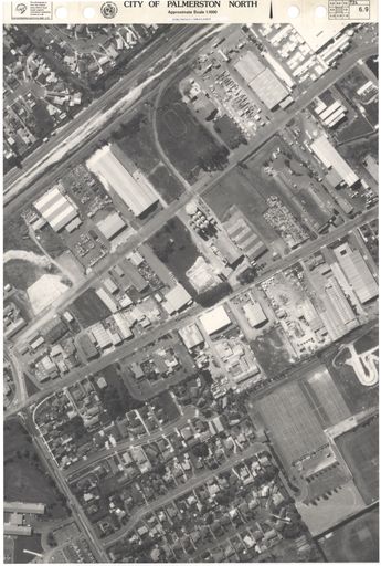
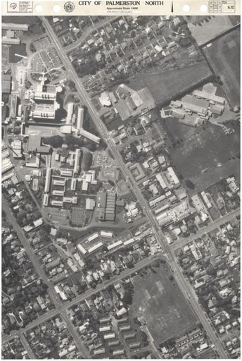
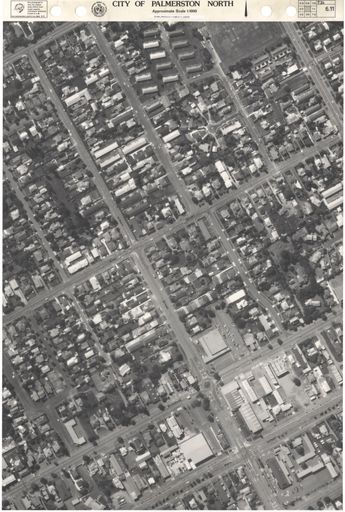
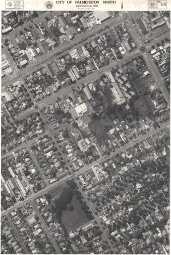
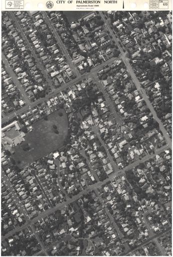
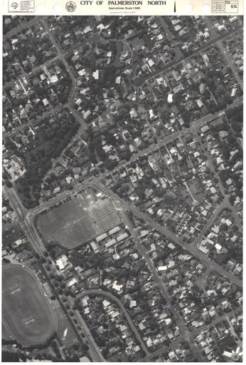
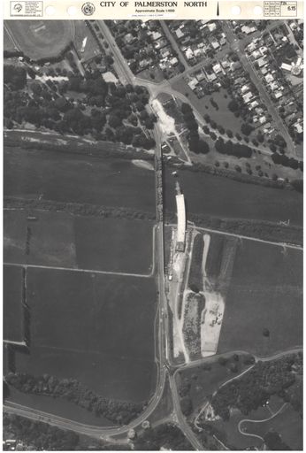
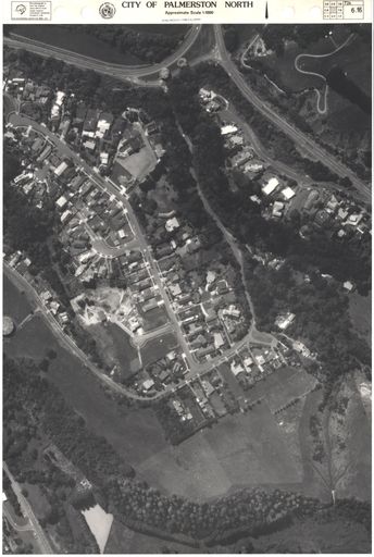
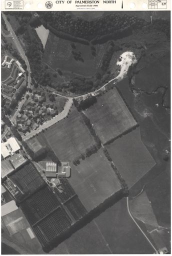
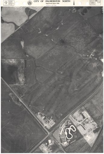
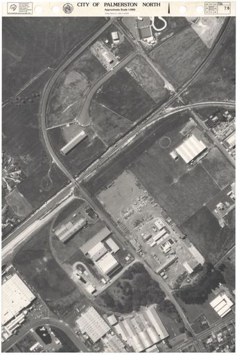
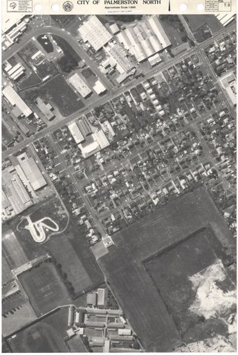
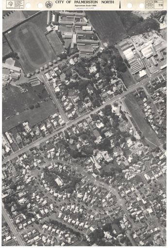
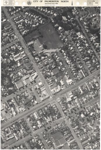
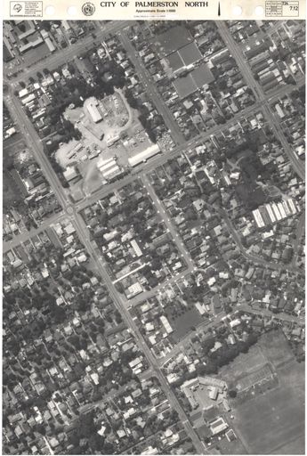
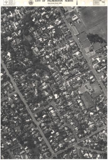
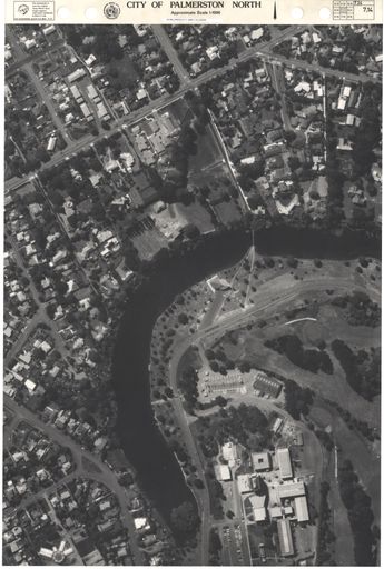
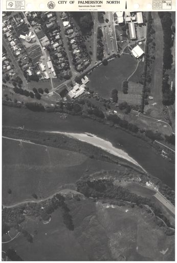
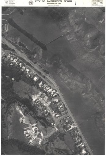
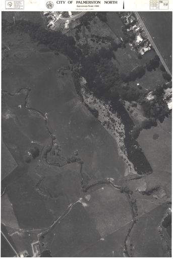
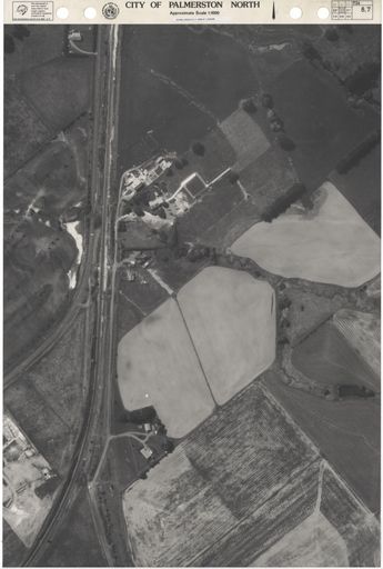
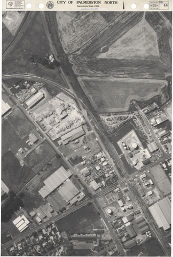
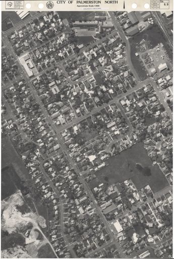
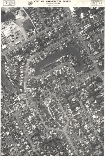
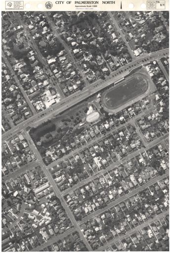
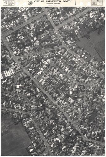
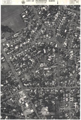
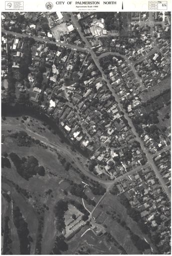
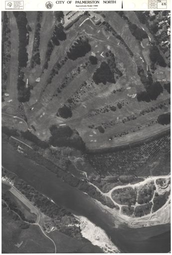
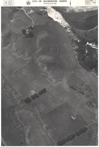
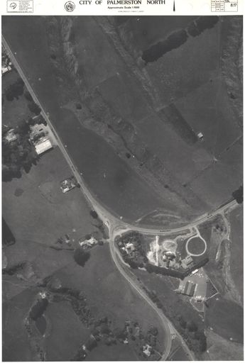
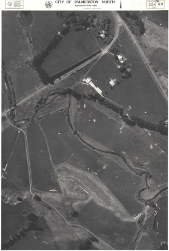
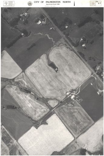
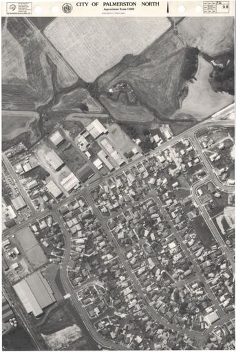
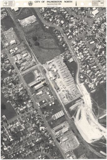
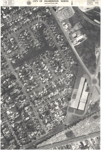
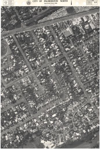
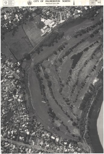
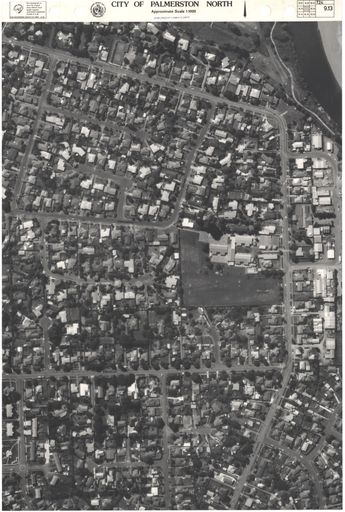
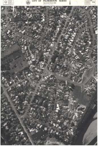
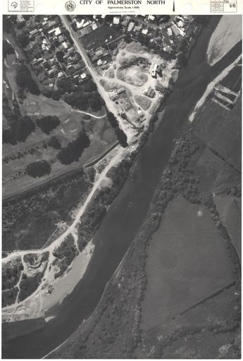
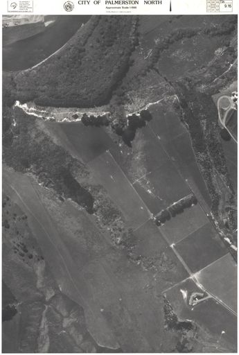
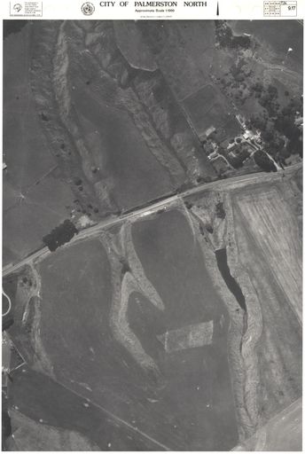
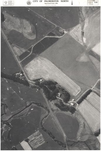
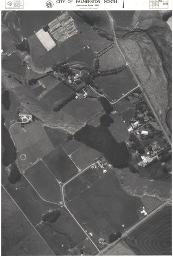
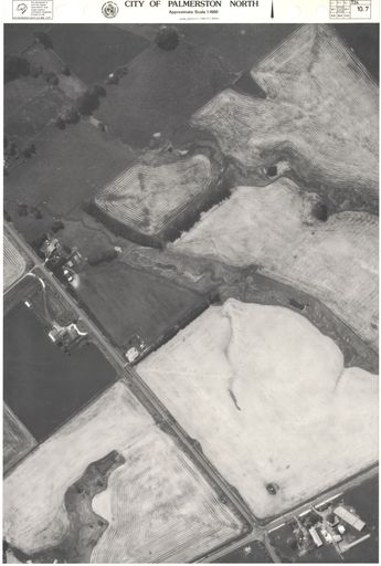
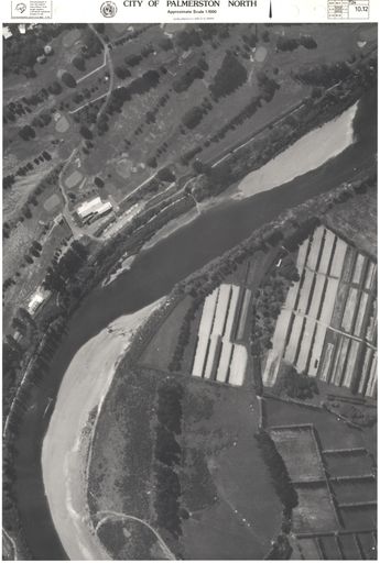
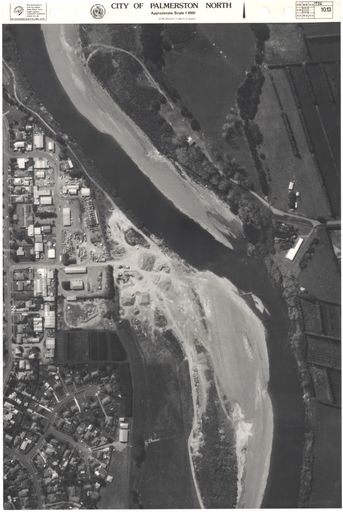
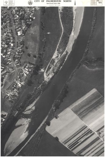
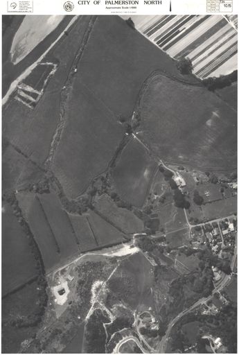
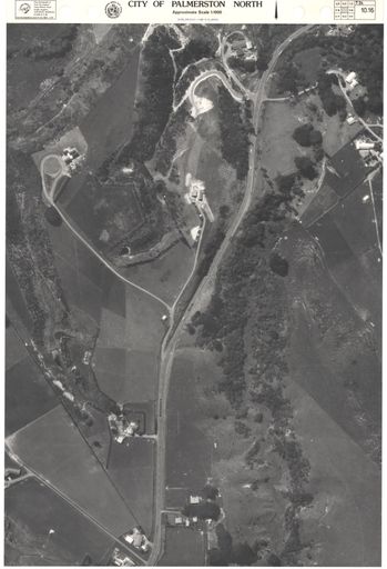
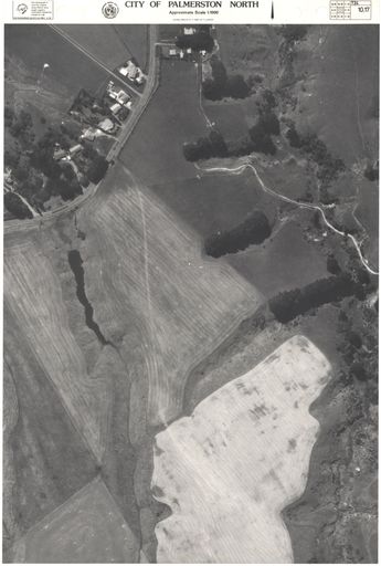
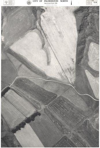
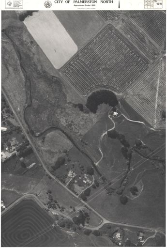
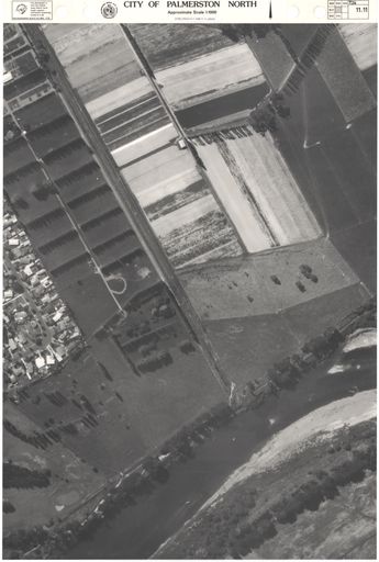
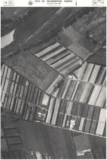
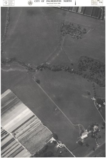
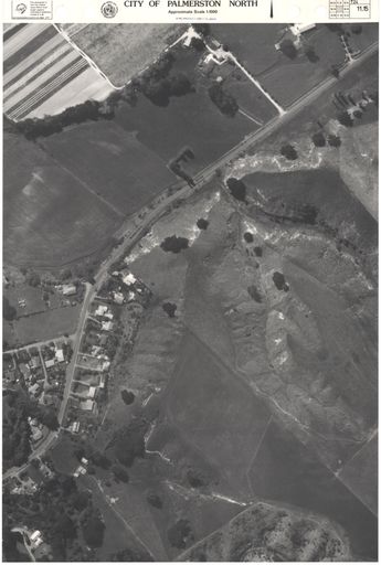
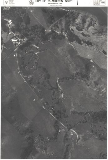
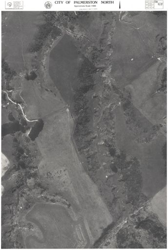
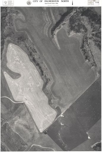
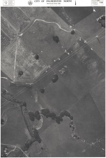
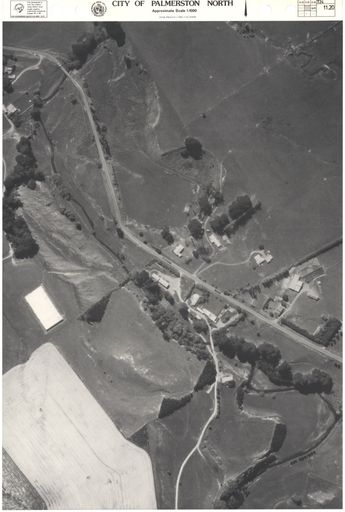
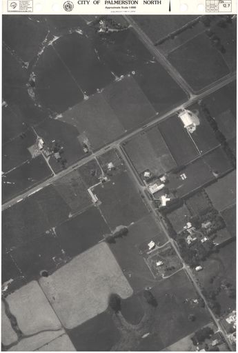
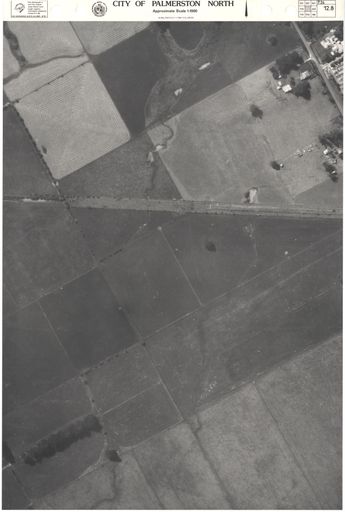
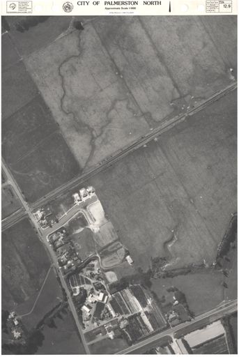
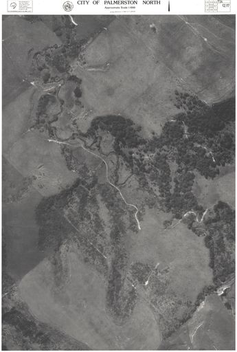
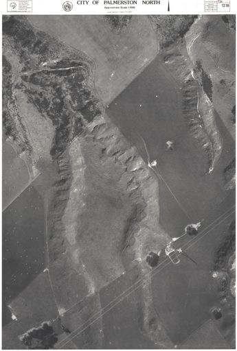
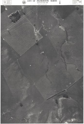
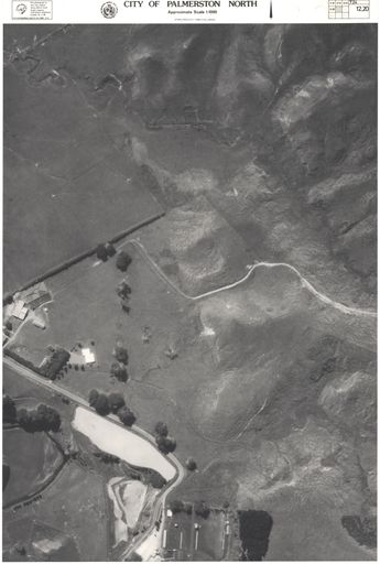
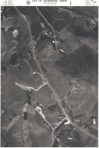
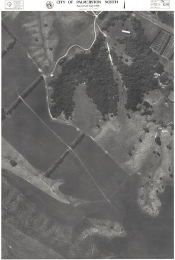
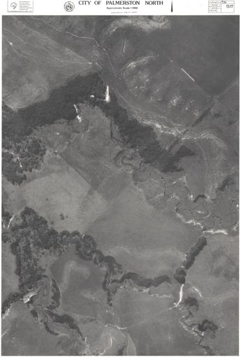
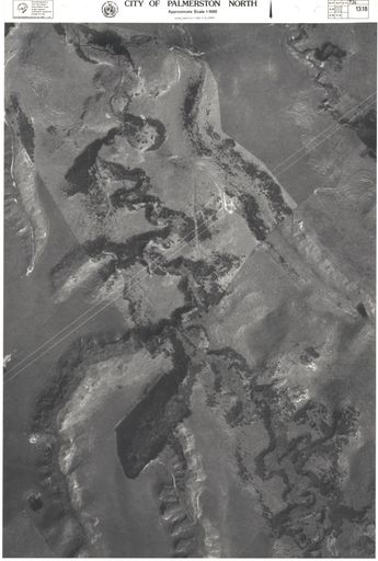
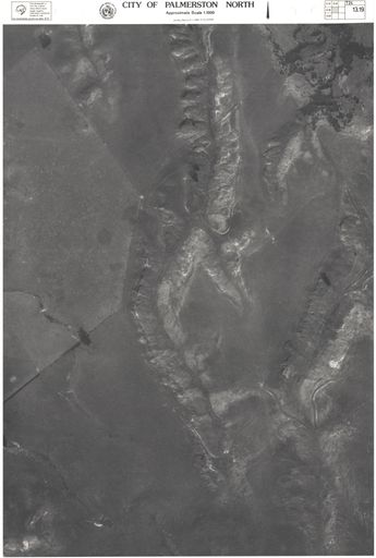
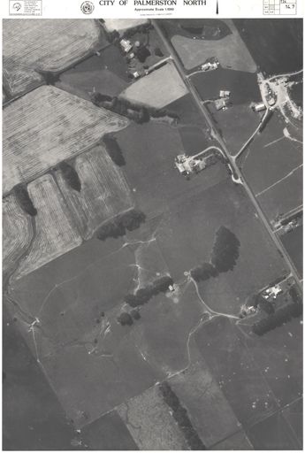
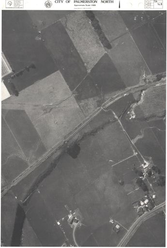
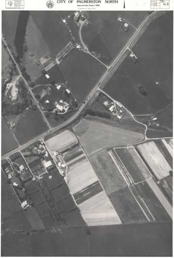
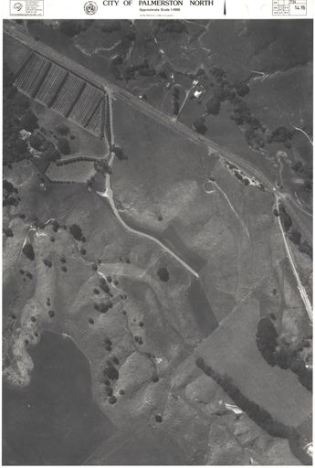
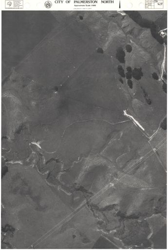
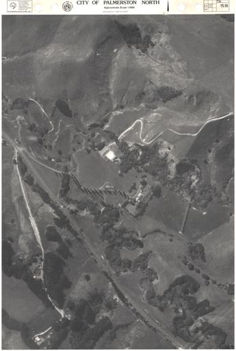
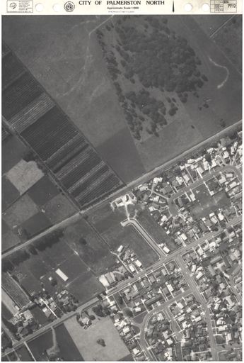
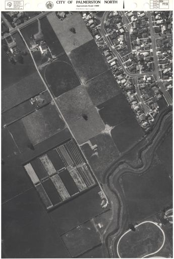
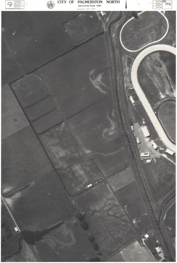
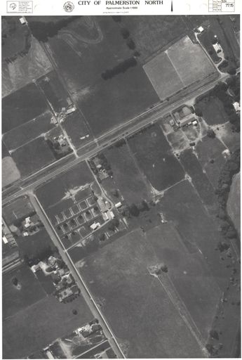
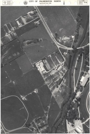
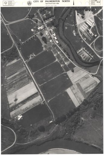
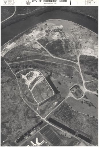
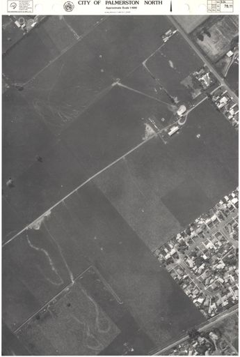
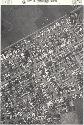
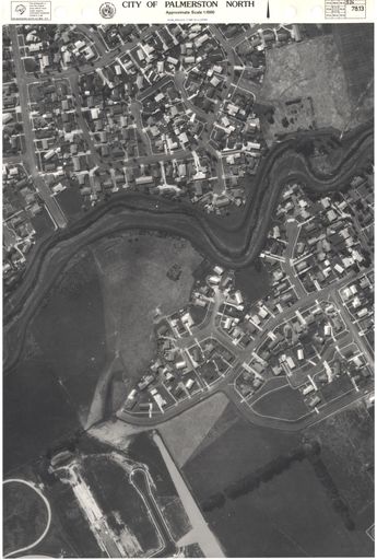
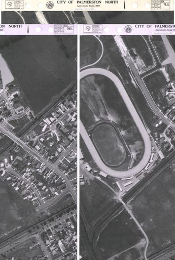
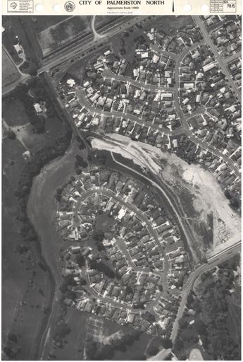
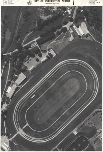
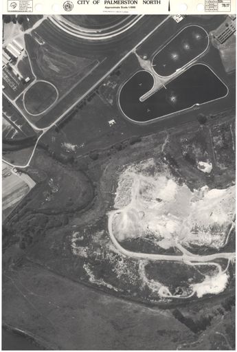
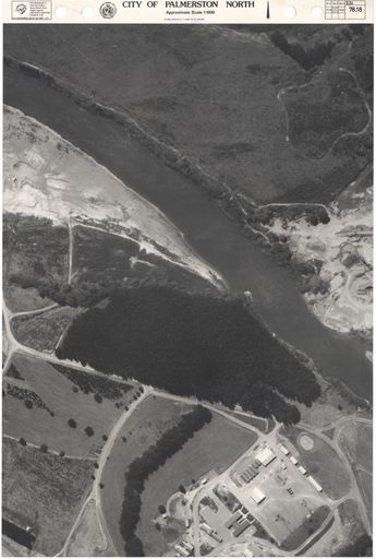
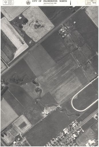
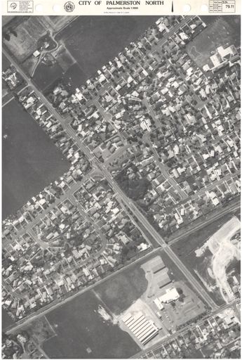
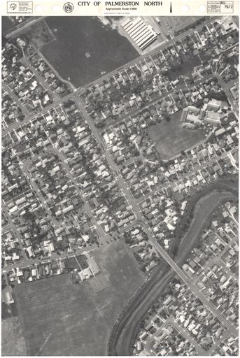
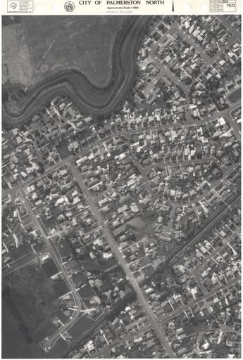
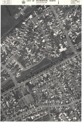
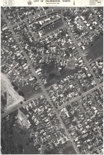
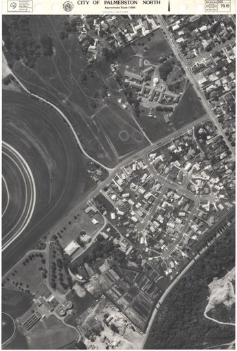
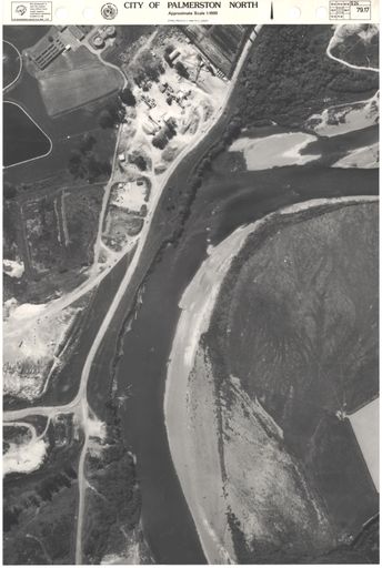
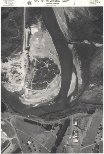
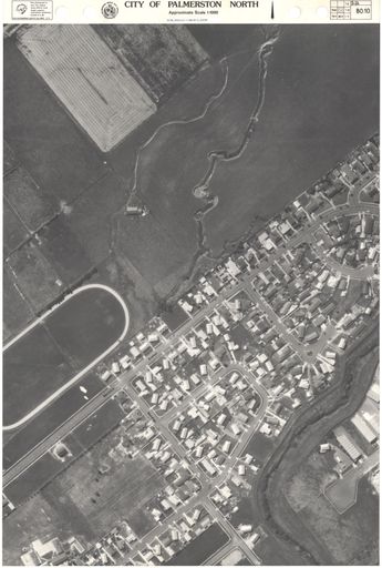
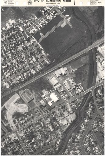
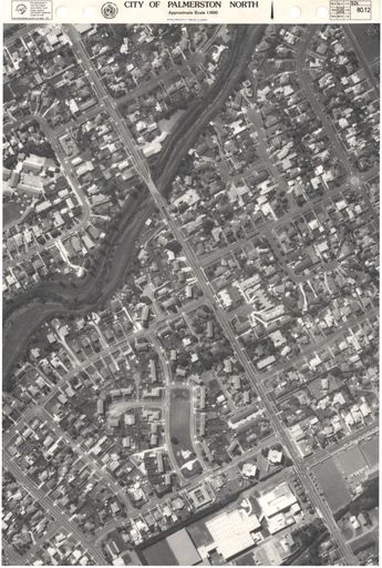
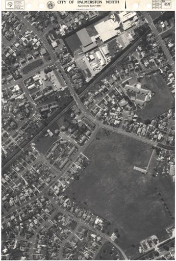
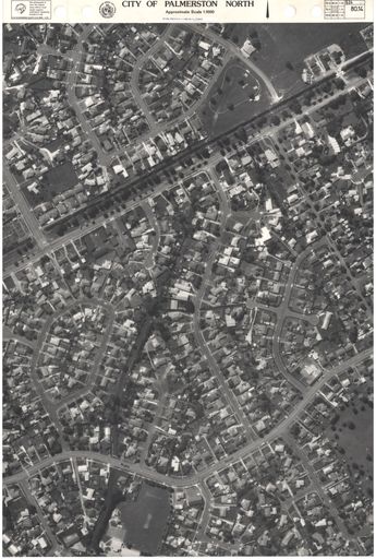
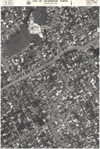
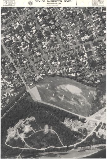
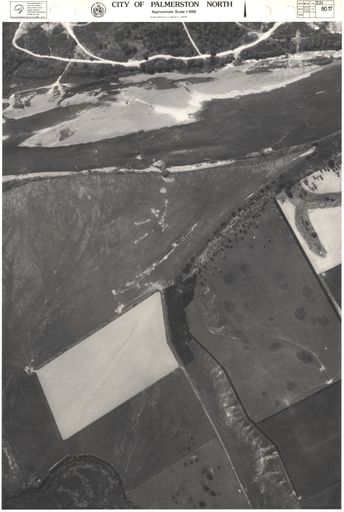
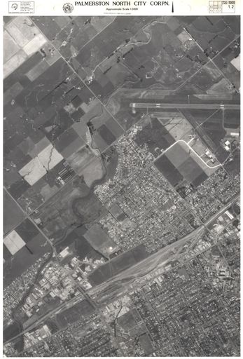
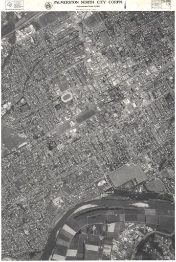
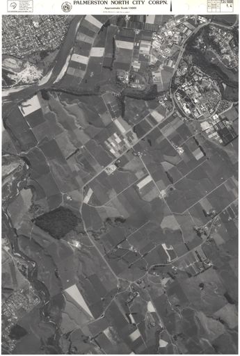
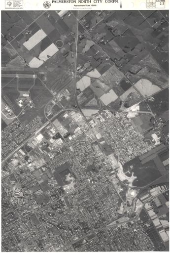
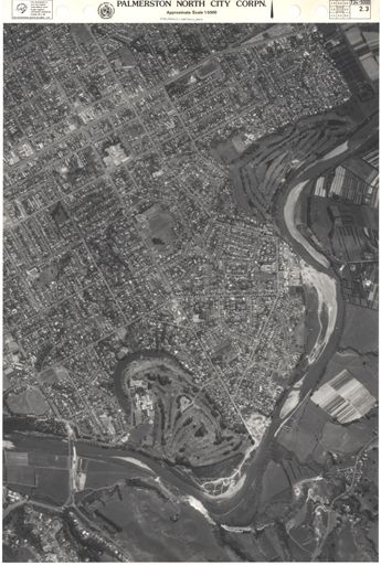
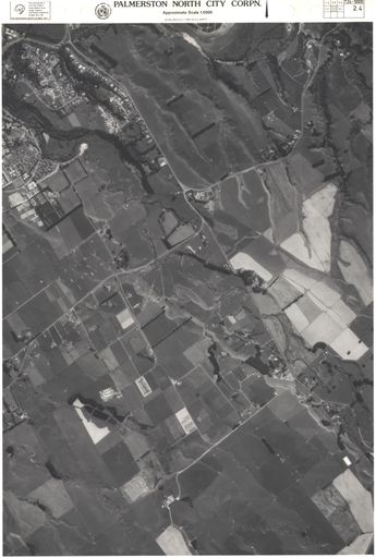
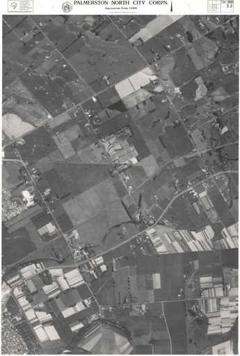
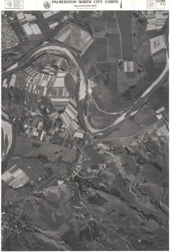
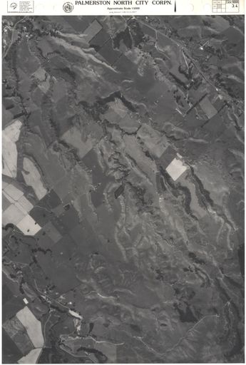
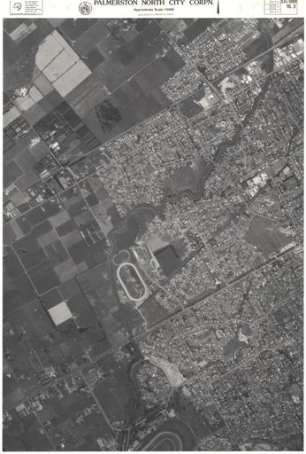
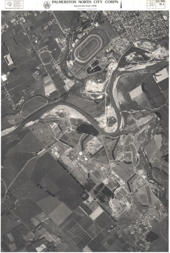
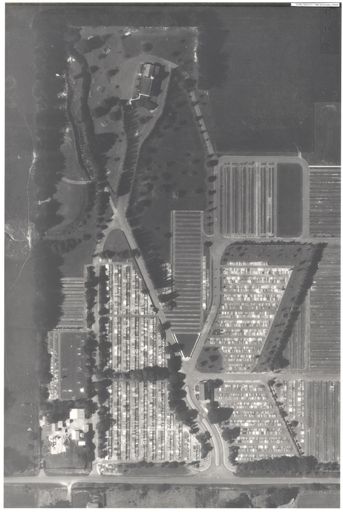
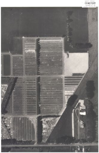
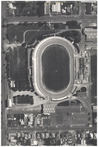
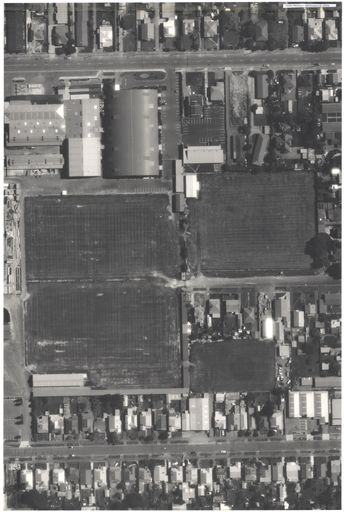
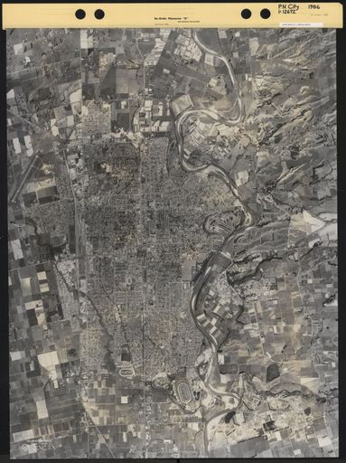
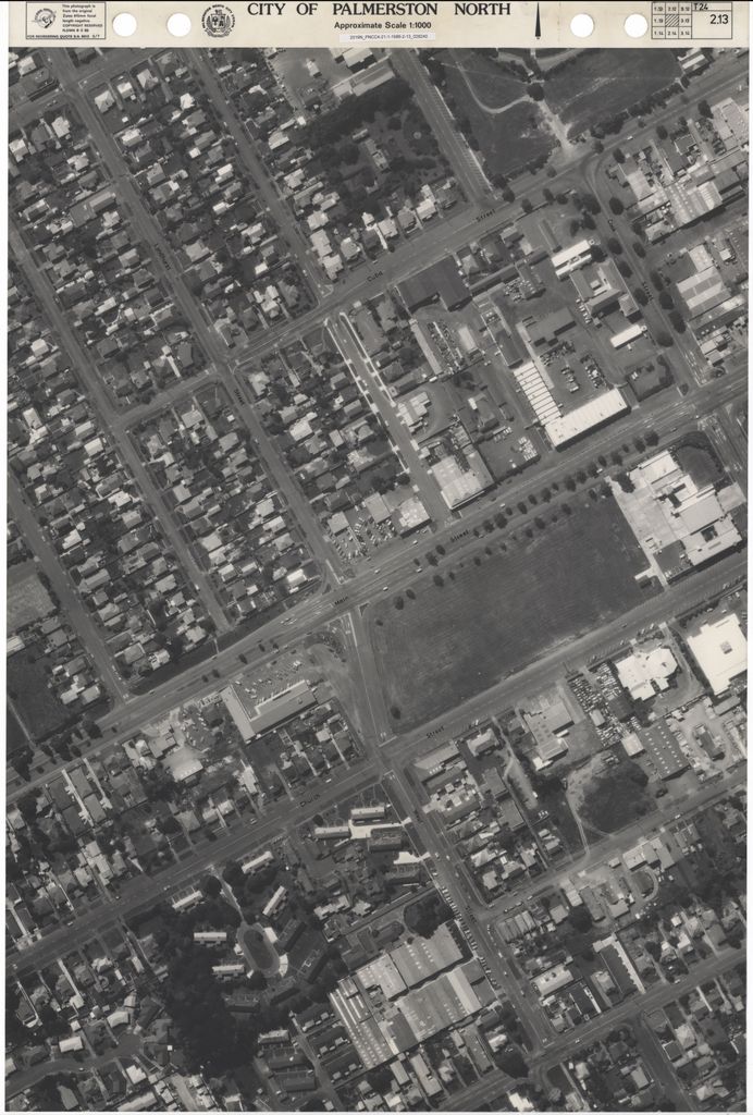
Key to 1986 aerial map survey of Palmerston North. Areas are laid out in grid format and have corresponding alphabetical and numerical number attached according to flight path. Names of streets are included on map. Scale of map is 1:12,500. Individual aerial maps scale are 1:1,000. Compiled by City Planning Department of Palmerston North Corporation..
Identification
- Object type
- Map
- Date
- 1986
- Digitisation id
- 2019Pa_PNCC4-21-1-1986-Index_030220
- Format
- Paper
- Held In
- "PNCC Archives"
Related items

Related items