
 https://d28dhd8eubcyz4.cloudfront.net/iiif/2/curtis-production2-cache%2F1%2F4%2F8%2F36b28c-bbf6-4254-957d-02bf4d0e32c7%2Fresize_master_f6920354a8152ec91f3caaeb09f84c82.jpg/full/!880,1024/0/default.jpg?sig=29a0ff6a39e8c85fc366c4062c5ae1abfbd2d1c2&ver=1758668087
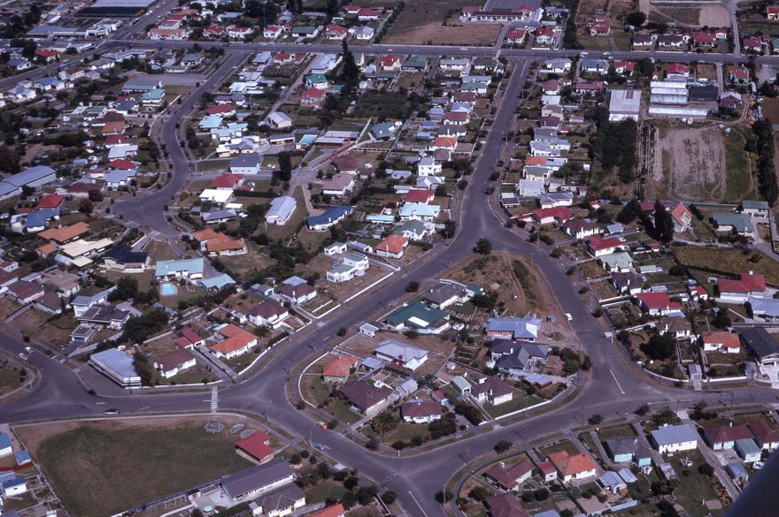
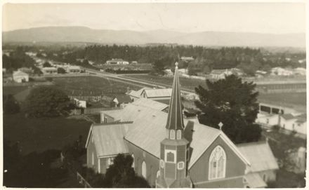
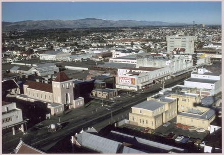
Aerial featuring Winston, Franklin, and Churchill Avenues
- Description
This slide was likely created by David Evans of the City Council's Planning Office. M D (David) Evans was a planning assistant from 1955 to 1968, Deputy City Planner from 1968 to 1978 and Senior Planning Officer (Design and Development) from 1978-1988.
Identification
- Object type
- Image
- Archive
- PNCC City Planning
- Relation
- PNCC7-8-3
- Date
- 196X
- Digitisation ID
- 2025S_PNCC7-8-3_Evans_043799
- Format
- Slide
- Held In
- "PNCC Archives"
Related items

Taxonomy
- Community Tags
Related items