
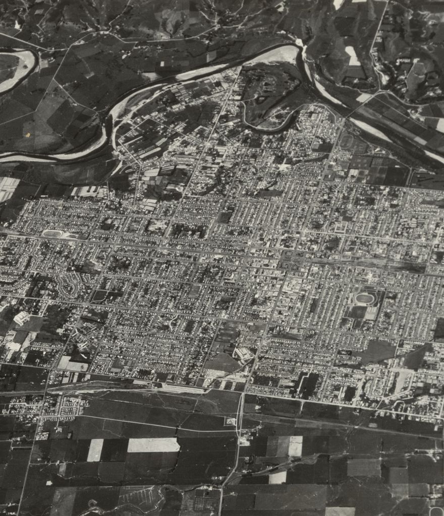
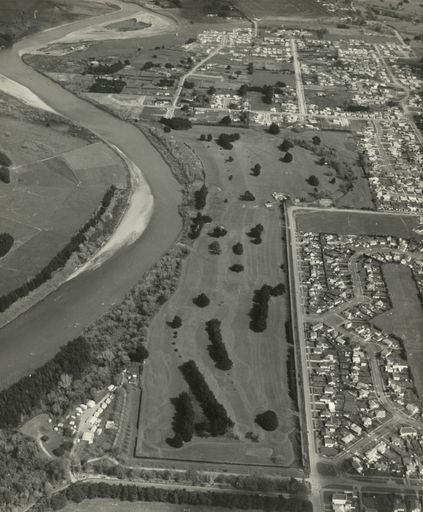
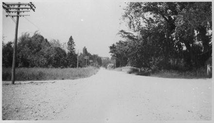
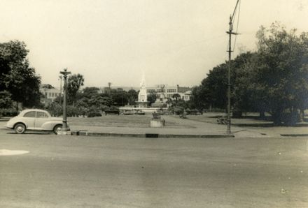
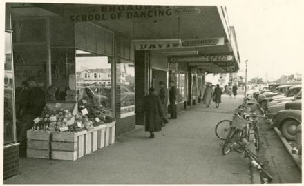
An aerial shot of Palmerston North taken by a Royal New Zealand Air Force Vampire from 35,000 feet. the city is bounded by the Manawatu River at the top and Boundary Road (now Tremaine Avenue) at the bottom.
 https://d28dhd8eubcyz4.cloudfront.net/iiif/2/curtis-production2-cache%2F1%2F5%2F3%2F48497e-e615-4fb8-bf16-32337e014abd%2Fresize_master_72e870301d4a9b24f231934f0480d701.jpg/full/!880,1024/0/default.jpg?sig=c8d82098608140856a543a079e4e8a1ec9135751&ver=1655537870
Aerial view of Palmerston North
Identification
- Object type
- Image
- Date
- November 2, 1954
- Digitisation ID
- 2008P_OSP_STR_2032
- Held In
- Outsize
Related items

Creation
- Created By
- Royal New Zealand Airforce
- Place
- Palmerston North
Object rights
- License
- Copyright
Taxonomy
Related items