
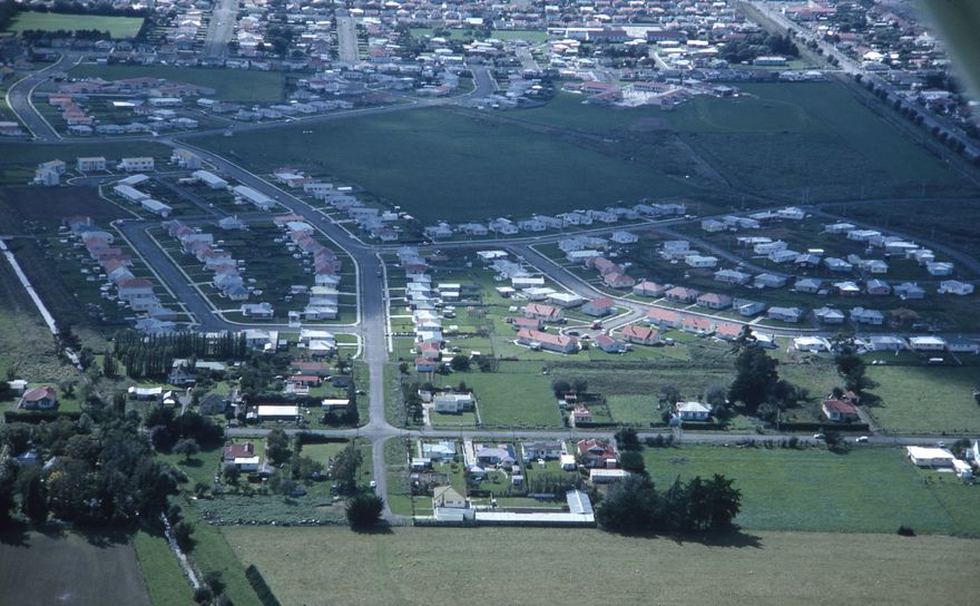
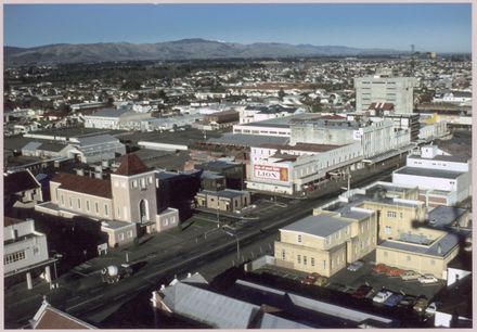
 https://d28dhd8eubcyz4.cloudfront.net/iiif/2/curtis-production2-cache%2F1%2Ff%2Fb%2Fd6aec3-0b7e-4e2d-a157-b49d658a74bc%2Fresize_master_254b853a2a87a52f65cb91c9d3987d07.jpg/full/!880,1024/0/default.jpg?sig=217c6e3d61418ca0bc03858a5301e81549b97cd7&ver=1758668186
Palmerston North Aerial
- Description
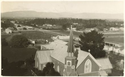
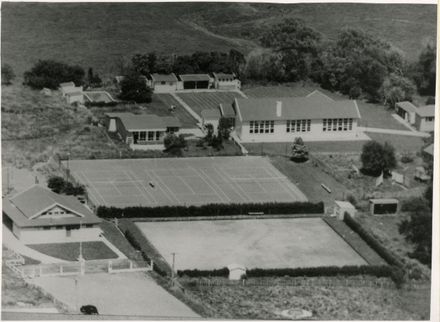
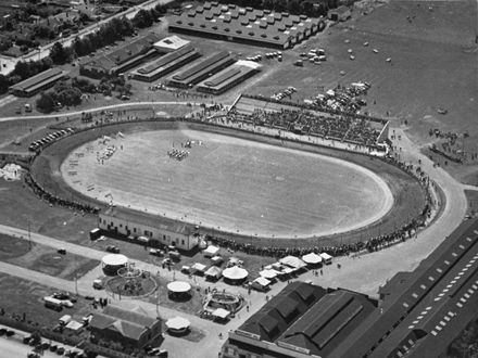
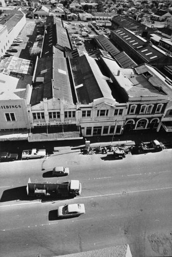
Can you identify locations in this aerial? Please use the comments tab to let us know so we can update the information attached to this record.
This slide was likely created by David Evans of the City Council's Planning Office. M D (David) Evans was a planning assistant from 1955 to 1968, Deputy City Planner from 1968 to 1978 and Senior Planning Officer (Design and Development) from 1978-1988.
Identification
- Object type
- Image
- Archive
- PNCC City Planning
- Relation
- PNCC7-8-3
- Date
- 196X
- Digitisation ID
- 2025S_PNCC7-8-3_Evans_043806
- Format
- Slide
- Held In
- "PNCC Archives"
Related items

Taxonomy
- Community Tags
Related items