
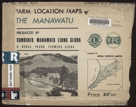
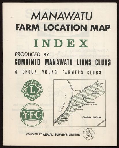
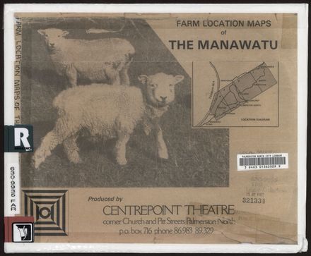
Farm Location Maps of the Manawatu
- Description
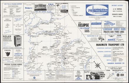
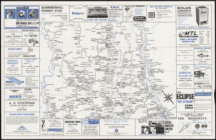
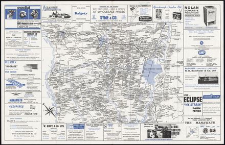
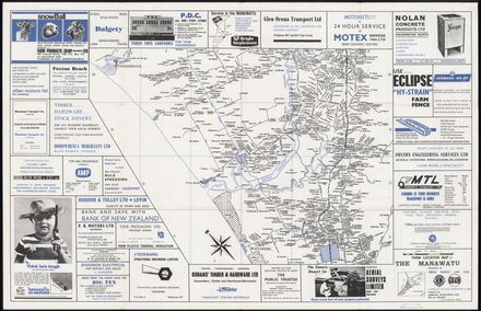
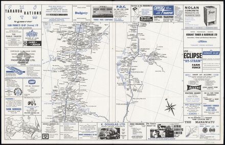
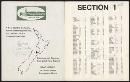
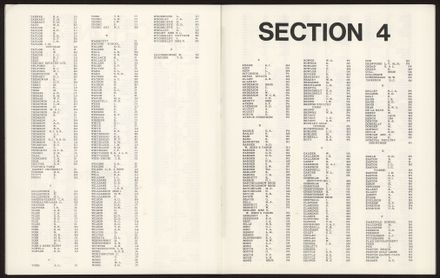
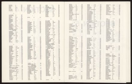
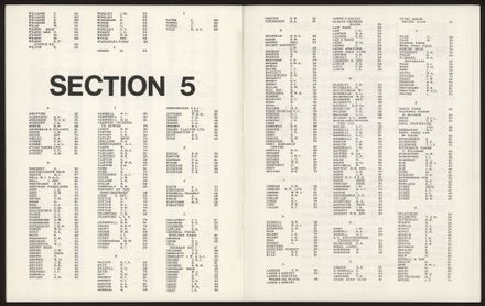
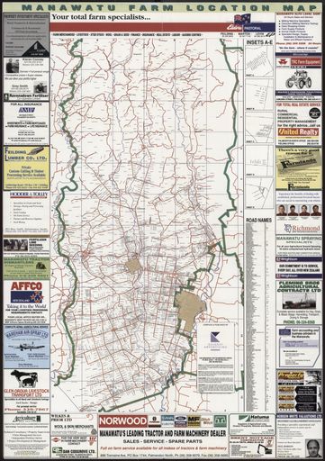
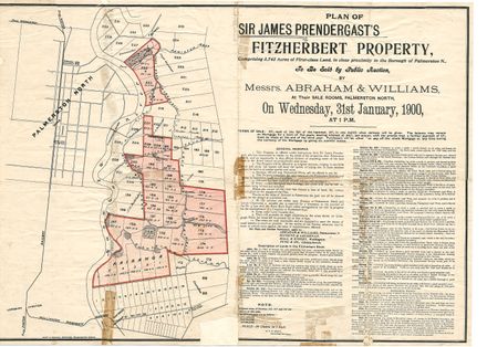
Maps that show farm ownership of land, covering the area from approximately Mangaweka to Paekaikariki in the North Island. the index lists the farms according to the owner's name.
Produced by Combined Manawatu Lions Clubs and Oroua Young Farmers Clubs
As compiled by Aerial Surveys Limited.
Identification
Related items
Taxonomy
- Community Tags
Related items