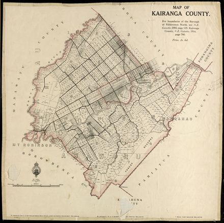
Skip to Content

Plan of the Aorangi River showing the confluence with the Oroua River, Te Pora Stream and Manawatu River in Rangiotu. Dated March 1885.

Scale is 20 chains to 1 inch.

Identification

Object type
Map
Relation
KCC 1/12/2, Folder 1
Date
March 1, 1885
Digitisation ID
2017P_KCC-1-12-2-F1_023299
Format
Paper
Held In
PNCC Archives

Related items

Kairanga County Map, 1916
Palmerston North City Boundary alterations 1877 to 1967
Plan of Town and Suburban Sections, Palmerston North, Manawatu (Showing Subdivisions)
NZ Cadastral Map - Town Series: Palmerston North Map 4
A New Map of the Borough of Palmerston North, Wellington Land District, New Zealand
Map of the Borough of Palmerston North, District of Wellington, New Zealand
NZ Cadastral Map - Town Series: Palmerston North Map 1
Aerial photo of Palmerston North in 1945 – no. 1 North-East quarter of City
Aerial photo of Palmerston North in 1945 – no. 3 North-West quarter of City
Aerial photo of Palmerston North in 1945 – no. 4 South-West quarter of City
AA Map of the Manawatū
Plan, Native Reserve on Block IV, Kairanga

Creation

Created By
Place
Rangiotu

Object rights

Taxonomy

Tags
maps and aerial photographs,
Community Tags

Report a problem

Related items

Kairanga County Map, 1916
Palmerston North City Boundary alterations 1877 to 1967
Plan of Town and Suburban Sections, Palmerston North, Manawatu (Showing Subdivisions)
NZ Cadastral Map - Town Series: Palmerston North Map 4
A New Map of the Borough of Palmerston North, Wellington Land District, New Zealand
Map of the Borough of Palmerston North, District of Wellington, New Zealand
NZ Cadastral Map - Town Series: Palmerston North Map 1
Aerial photo of Palmerston North in 1945 – no. 1 North-East quarter of City
Aerial photo of Palmerston North in 1945 – no. 3 North-West quarter of City
Aerial photo of Palmerston North in 1945 – no. 4 South-West quarter of City
AA Map of the Manawatū
Plan, Native Reserve on Block IV, Kairanga