
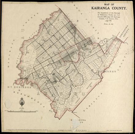
Plan of Town and Suburban Sections: Palmerston North, Manawatu
Object type
Plans
- Description
-
This map shows one of the earliest layout plans for Palmerston North. It includes mostly sections south of present day Main Street (labelled Great Northern Road). The map shows some of the landscape features underlying the present day city. Scale 10 chains : 1 inch. Original copy of map has date of 1872 - this has been twinked out at some stage and the map MAY actually be 1874.
Identification
- Content type
- Map/Plan
- Identifier
- 2007M_PNCC7-6-3-18-M-2_MAP_0542
- Relation
- PNCC 7/6/3, 18-M-2
- Date
- circa 1872
- Digitisation id
- 2007M_PNCC7-6-3-18-M-2_MAP_0542
- Format
- Other
- Held in
- PNCC Archives
Related items


Creation
- Created By
- Henry Jackson, Chief Surveyor
Object rights
- License
- No Known Restrictions
Taxonomy
- Community Tags