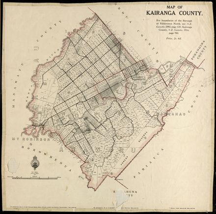
Skip to Content
Description

A map showing early section and lot numbers for the subdivision of Palmerston North. Scale 10 chains : 1 inch.

Identification

Object type
Map
Relation
PNCC Series 7/6/3, Historical Maps, 18-M-3
Date
1878
Digitisation ID
2007M_PNCC7-6-3-18-M-3_MAP_0543
Format
Other
Held In
"PNCC Archives"

Related items

Plan of Town and Suburban Sections: Palmerston North, Manawatu
Tawa Loop Track
Back Issues:  Whakarongo and her legacy of courage
View of Lagoon from Woodhey
Hokowhitu Lagoon
Hokowhitu Lagoon
Hokowhitu Lagoon
Taonui Street, Name and History
"Cutting Weed on Centennial Lake"
Aerial photo of Palmerston North in 1945 – no. 1 North-East quarter of City
Aerial photo of Palmerston North in 1945 – no. 3 North-West quarter of City
Aerial photo of Palmerston North in 1945 – no. 4 South-West quarter of City

Taxonomy

Tags
18/m/3,
lagoons,
maps and aerial photographs,
native reserve,
scandinavian settlement,
Community Tags

Report a problem

Related items

Plan of Town and Suburban Sections: Palmerston North, Manawatu
Tawa Loop Track
Back Issues:  Whakarongo and her legacy of courage
View of Lagoon from Woodhey
Hokowhitu Lagoon
Hokowhitu Lagoon
Hokowhitu Lagoon
Taonui Street, Name and History
"Cutting Weed on Centennial Lake"
Aerial photo of Palmerston North in 1945 – no. 1 North-East quarter of City
Aerial photo of Palmerston North in 1945 – no. 3 North-West quarter of City
Aerial photo of Palmerston North in 1945 – no. 4 South-West quarter of City