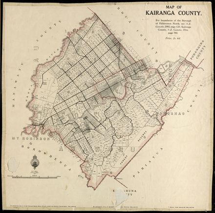
Peke atu ki ngā rauemi

This map shows one of the earliest layout plans for Palmerston North. It includes the names of many of the landowners written on the sections they held and extensive anotations detailing sections purchased for public schools and other uses. Land area is listed in each section. Scale 4 chains : 1 inch.

Tautuhi

Momo rauemi
Map
Pākanga
PNCC 7/6/3
Date
July 24, 1866
Tautuhi matihiko
2007M_PNCC7-6-3-18-M-1_MAP_0541
Momo rauemi
Slide
E puritia ana ki
PNCC Archives

Ngā rauemi e whai pānga ana

Kairanga County Map, 1916
Palmerston North City Boundary alterations 1877 to 1967
Plan of Town and Suburban Sections, Palmerston North, Manawatu (Showing Subdivisions)
NZ Cadastral Map - Town Series: Palmerston North Map 4
A New Map of the Borough of Palmerston North, Wellington Land District, New Zealand
Map of the Borough of Palmerston North, District of Wellington, New Zealand
NZ Cadastral Map - Town Series: Palmerston North Map 1
Aerial photo of Palmerston North in 1945 – no. 1 North-East quarter of City
Aerial photo of Palmerston North in 1945 – no. 3 North-West quarter of City
Aerial photo of Palmerston North in 1945 – no. 4 South-West quarter of City
AA Map of the Manawatū
Plan of Lower Aorangi River

Hanganga

Te kaihanga
Te wāhi
Palmerston North

Te manatārua

Pūnaha whakarōpū

Ngā tūtohu
18/m/1,
1876,
maps and aerial photographs,
plan no. 4,
Tūtohu Hapori

Tuku kōrero mai mō te whakararu

Ngā rauemi e whai pānga ana

Kairanga County Map, 1916
Palmerston North City Boundary alterations 1877 to 1967
Plan of Town and Suburban Sections, Palmerston North, Manawatu (Showing Subdivisions)
NZ Cadastral Map - Town Series: Palmerston North Map 4
A New Map of the Borough of Palmerston North, Wellington Land District, New Zealand
Map of the Borough of Palmerston North, District of Wellington, New Zealand
NZ Cadastral Map - Town Series: Palmerston North Map 1
Aerial photo of Palmerston North in 1945 – no. 1 North-East quarter of City
Aerial photo of Palmerston North in 1945 – no. 3 North-West quarter of City
Aerial photo of Palmerston North in 1945 – no. 4 South-West quarter of City
AA Map of the Manawatū
Plan of Lower Aorangi River