
"Manawatu Museum Fieldwork Reports: No. 1"
Object type
Multi page
- Description
-
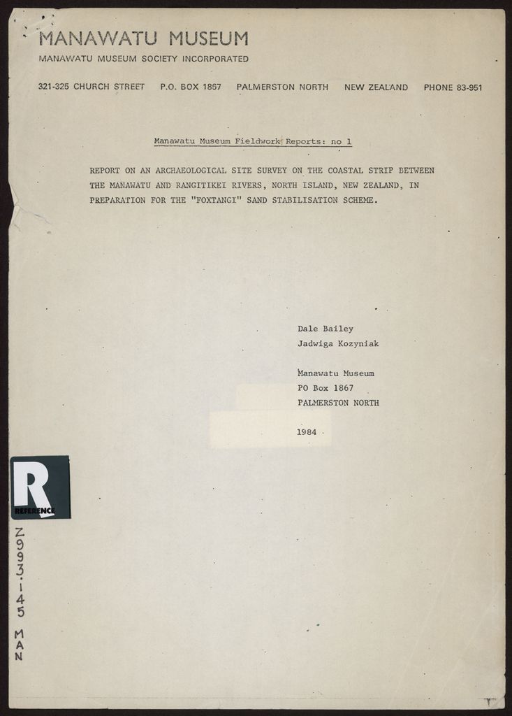
A report on an archaeological site survey on the coastal strip between the Manawatū River and Rangitikei River. This work done in preparation for the "Foxtangi" Sand Stabilisation Scheme to be undertaken by the Manawatū and Rangitikei-Wanganui Catchment Boards. The survey identified seventeen archaeological sites in the survey area. The report includes maps of the survey area, an inventory of samples taken, and a list of the archaeological sites.
Identification
Related items


Creation
- Created By
- Dale Bailey and Jadwig Kozyniak for the Manawatū Museum Society
- Place
- Manawatū
Object rights
- License
- By Attribution Alone