
 https://d28dhd8eubcyz4.cloudfront.net/iiif/2/curtis-production2-cache%2F1%2F0%2F7%2F9b4f13-e204-4119-91b1-4ca5007b85f5%2Fresize_master_b561ab0407ff70b17191f3d4d3747557.jpg/full/!880,1024/0/default.jpg?sig=cca029949fce21a740f3cfa2eade76547be09f5b&ver=1667225955
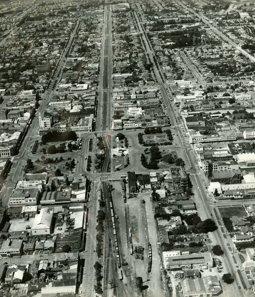
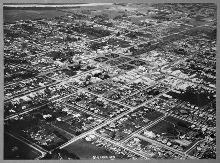
Aerial view of central Palmerston North
- Description
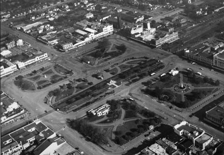
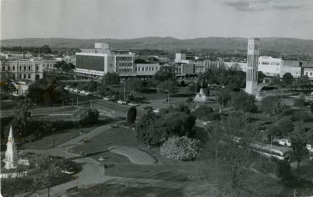
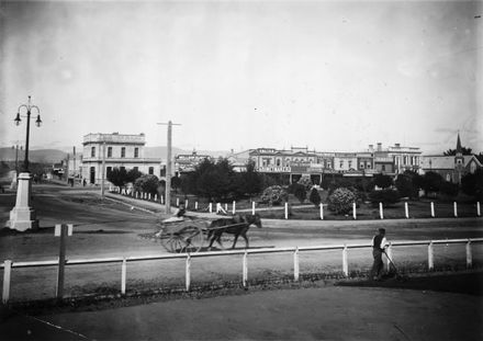
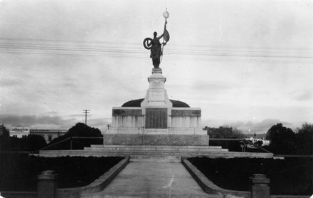
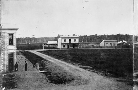
Main Street runs through the centre of the photograph with Church Street to the right and Broadway to the left. The four quadrants and the central portion that make up The Square can be clearly seen. The railway runs from the yards, at the bottom, through the Square, illustrating the slight curved devaitation made to allow the war memorial to be more centrally sited in 1926.
Identification
- Object type
- Image
- Date
- 1956 to 1964
- Digitisation ID
- 2007N_Pn24_SQU_0450
- Held In
- Coolstore
Related items

Taxonomy
- Community Tags
Related items